Stream Corridor Management Plans are developed at the local level which EMPOWERS and INSPIRES all stakeholders to enhance stewardship of this valuable water resource.
")
A Management Plan is a locally developed, voluntary program that defines stream stewardship for an entire community. It coordinates government, private sector and individual streamside activities to identify and address issues related to stream stability, property protection, flooding, aesthetics, recreation, and ecology. Management Plans provide opportunities for government and local groups to work together, including identifying sources of funding for locally sponsored projects.
Management Plans are NOT a construction program to fix all erosion or remove all stream gravel, nor are they a flood prevention program, neither are they sole sources of implementation funding nor a regulatory program.
Over the past few centuries we have used streams for transportation, power, food, recreation and water supplies. Our past efforts at management activities to protect and preserve our streams and floodplains have been relatively uncoordinated and site specific.
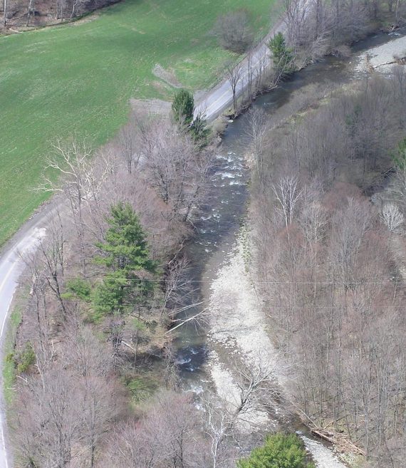
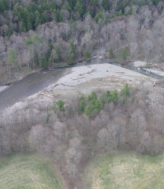
In recent years, efforts have started to focus on the management of the watershed as a system. Through this approach we are trying to better understand stream function, instability causes, and the effects of management practices on the entire system, not just the site. It is important to understand how a natural stream functions, and measure and document these “traits”.
Replicating natural stream conditions when implementing management practices allows for better stream function and health. It is equally important to understand floodplain function and that the floodplain is part of the stream, “…constructed by the river in the present climate and inundated during periods of high flow.” (Leopold, 1997)
Stream Corridor Management Plans are coordinated by Delaware County Soil and Water Conservation District in partnership with the Delaware County Department of Planning and Watershed Affairs with funding and support provided by the New York City Department of Environmental Protection’s Stream Management Program. The plans document the overall condition through the Stream Feature Inventory (SFI) and provide recommendations that address water quality, stream stability, the protection of life and property, and wildlife habitat.

This Stream Corridor Management Plan provides a foundation for local residents, municipalities, interested organizations and cooperating agencies to enhance stewardship of the West Branch Delaware River and its tributaries. Funded by the New York City Department of Environmental Protection and the U. S. Army Corps of Engineers, this Plan is a culmination of four years of study and assessment in coordination with the Delaware County Action Plan (DCAP). Guided by a local Project Advisory Committee, this Stream Corridor Management Plan is representative of how both upstate and downstate stakeholders can work in partnership to protect and enhance a mutually beneficial resource.
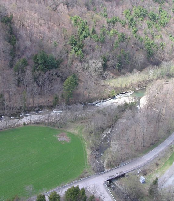
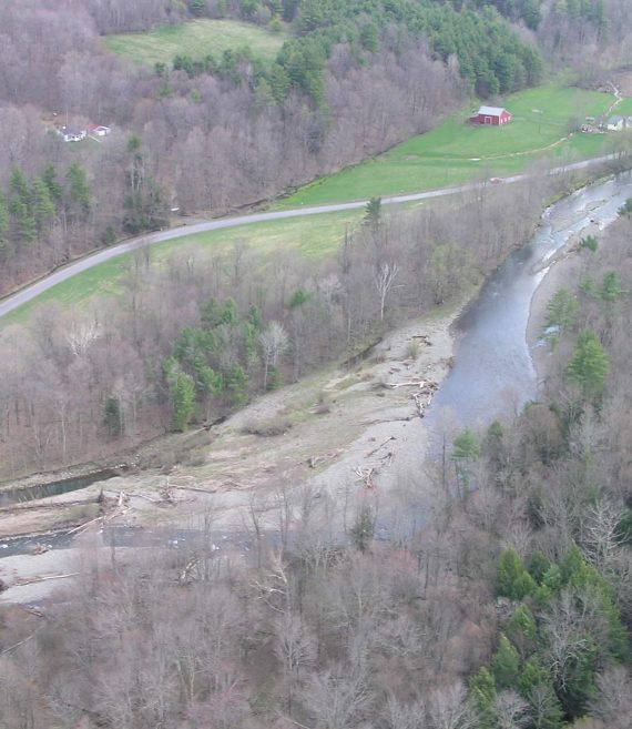
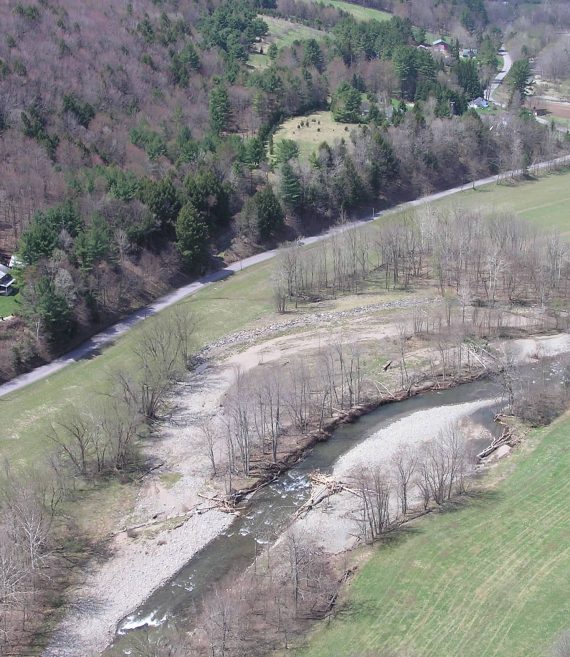
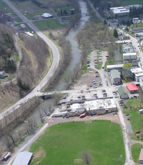
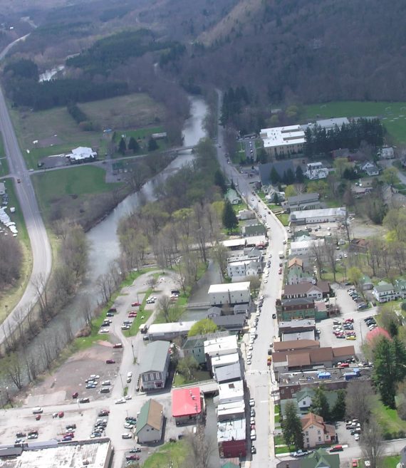
This Stream Corridor Management Plan focuses on the East Branch Delaware River watershed above the Pepacton Reservoir dam at Downsville. The watershed not only contains the Pepacton Reservoir, the East Branch Delaware River, and its many tributaries – it contains communities in which people live and work. The writers of this Plan strove to create a document that would take the needs and desires of watershed residents into account while outlining ways to conserve, preserve, and enhance the watershed itself.
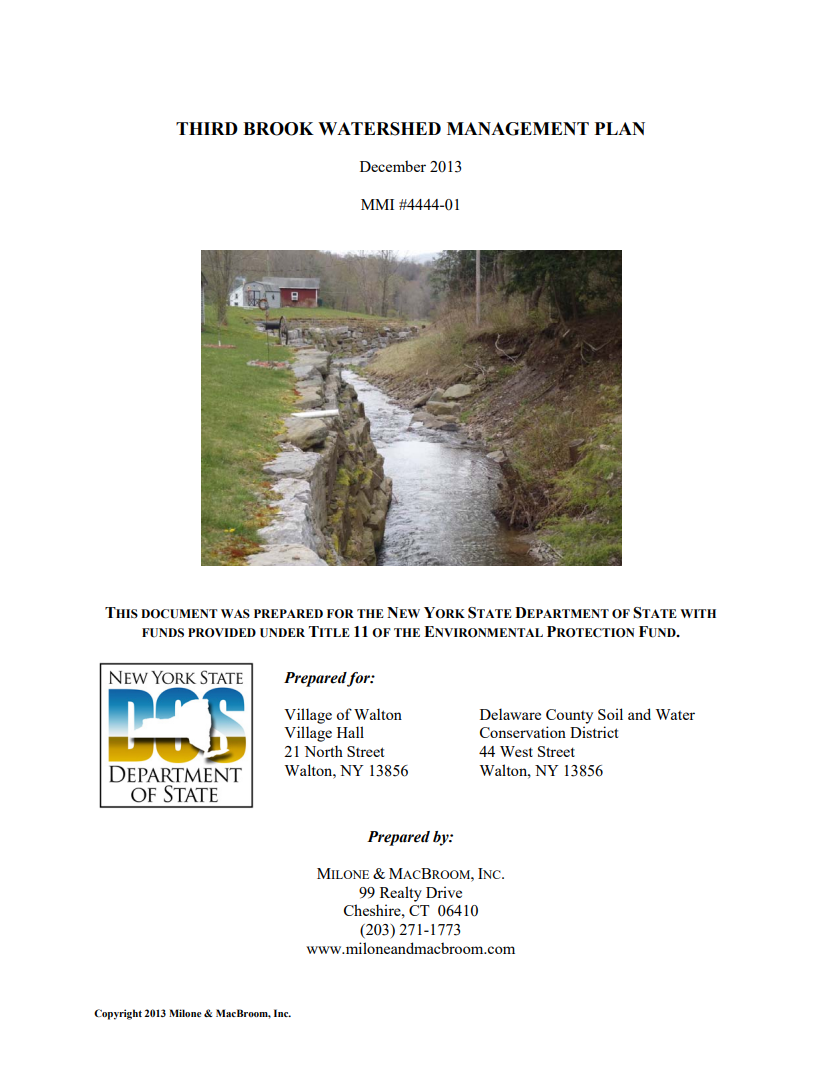
This plan builds on previous work, with additional assessment and analysis. The Third Brook watershed, its residents, critical municipal infrastructure, and businesses crucial to the area economy have been devastated by past flooding, most notably the flooding that occurred in June 2006. As such, a significant element of this plan focuses on creating a stable river valley and decreasing future vulnerability. Beyond the important issue of flooding, this management plan addresses strategies associated with stream stability, erosion, and slope failures; stormwater management; land management; sanitary wastewater management; and wetland habitat protection.
The Delaware County Soil and Water Conservation District’s Stream Management Program is dedicated to restoring and stabilizing streams and reducing nonpoint source pollution to ensure quality drinking water, and providing education and outreach on all phases of stream management and stewardship to help stakeholders make informed science-based management decisions.