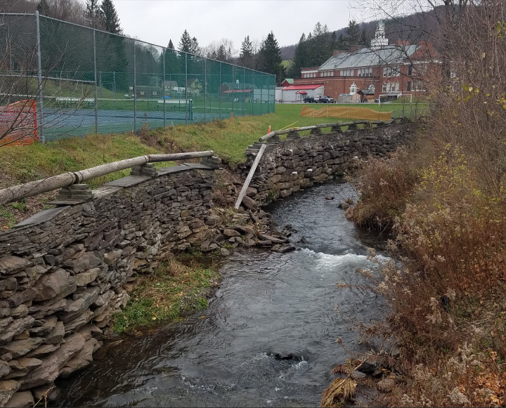
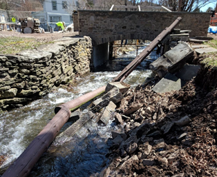
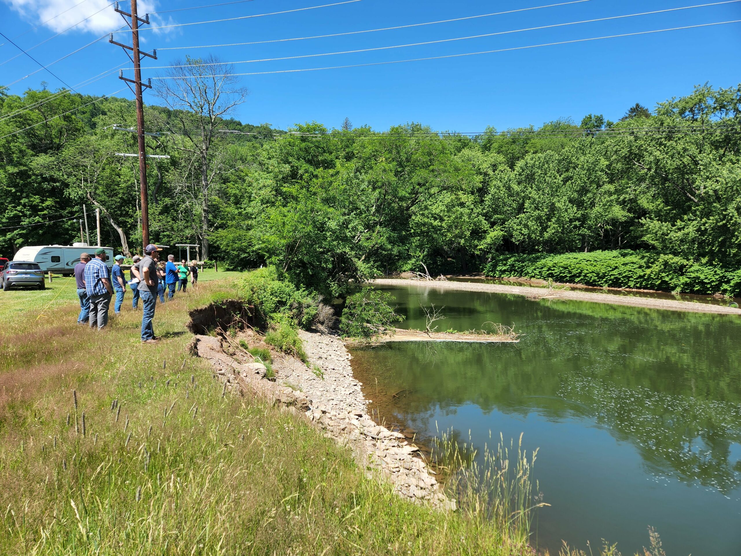
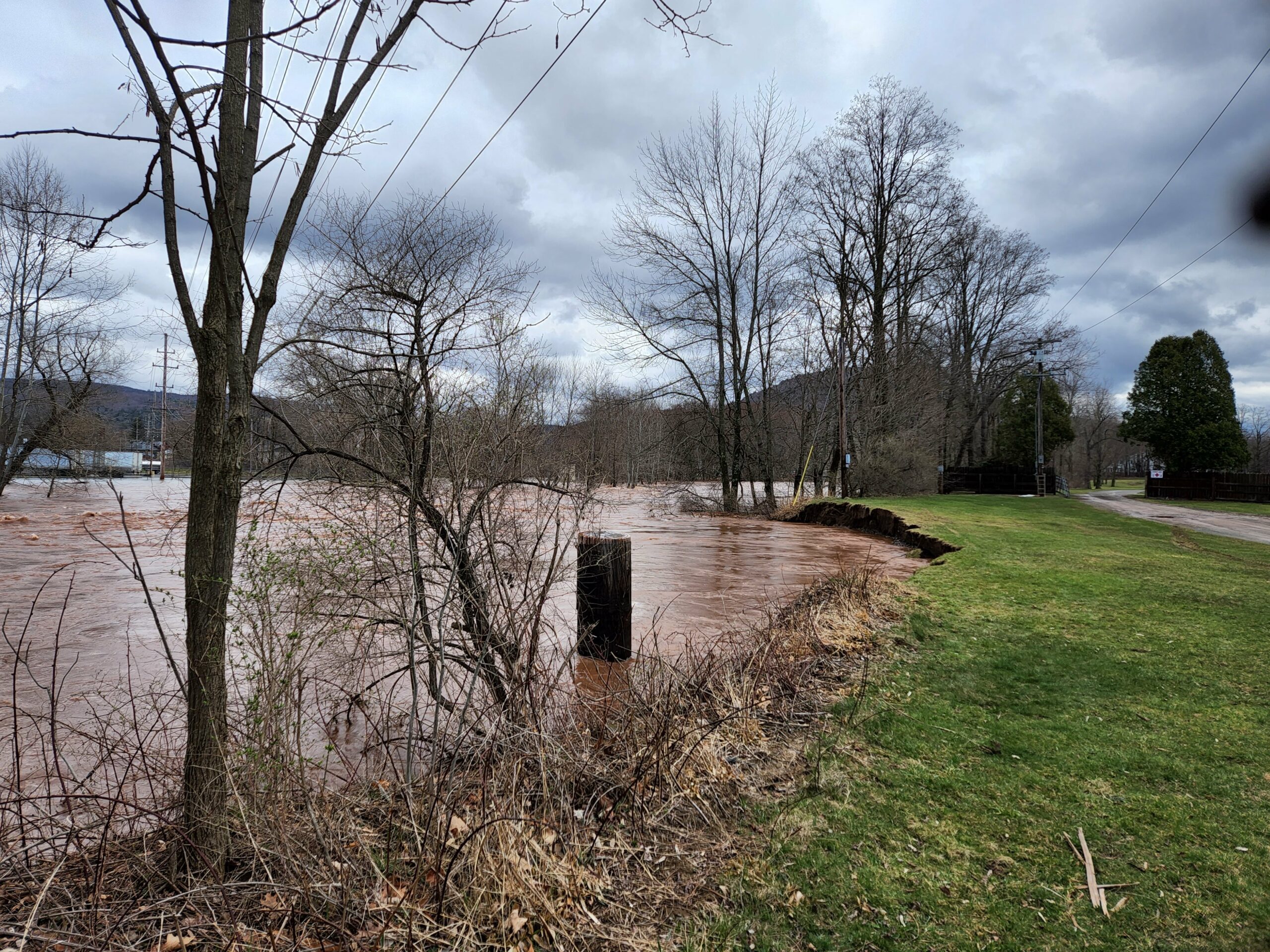
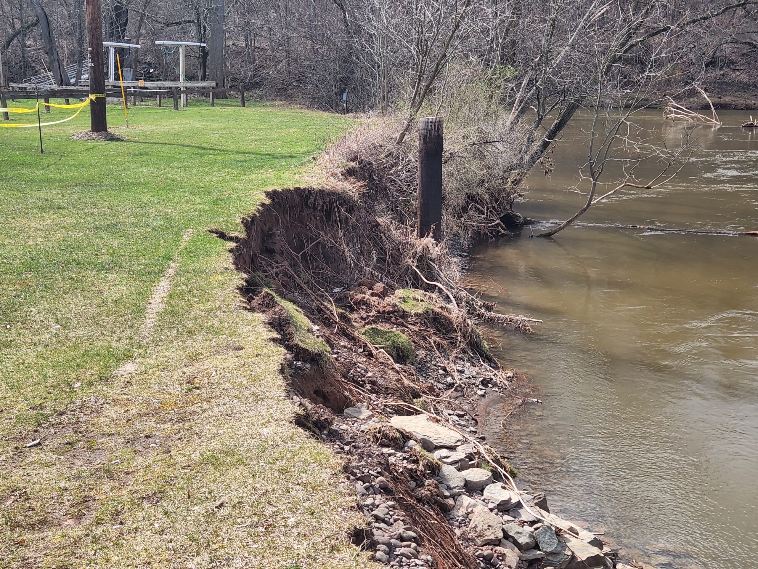
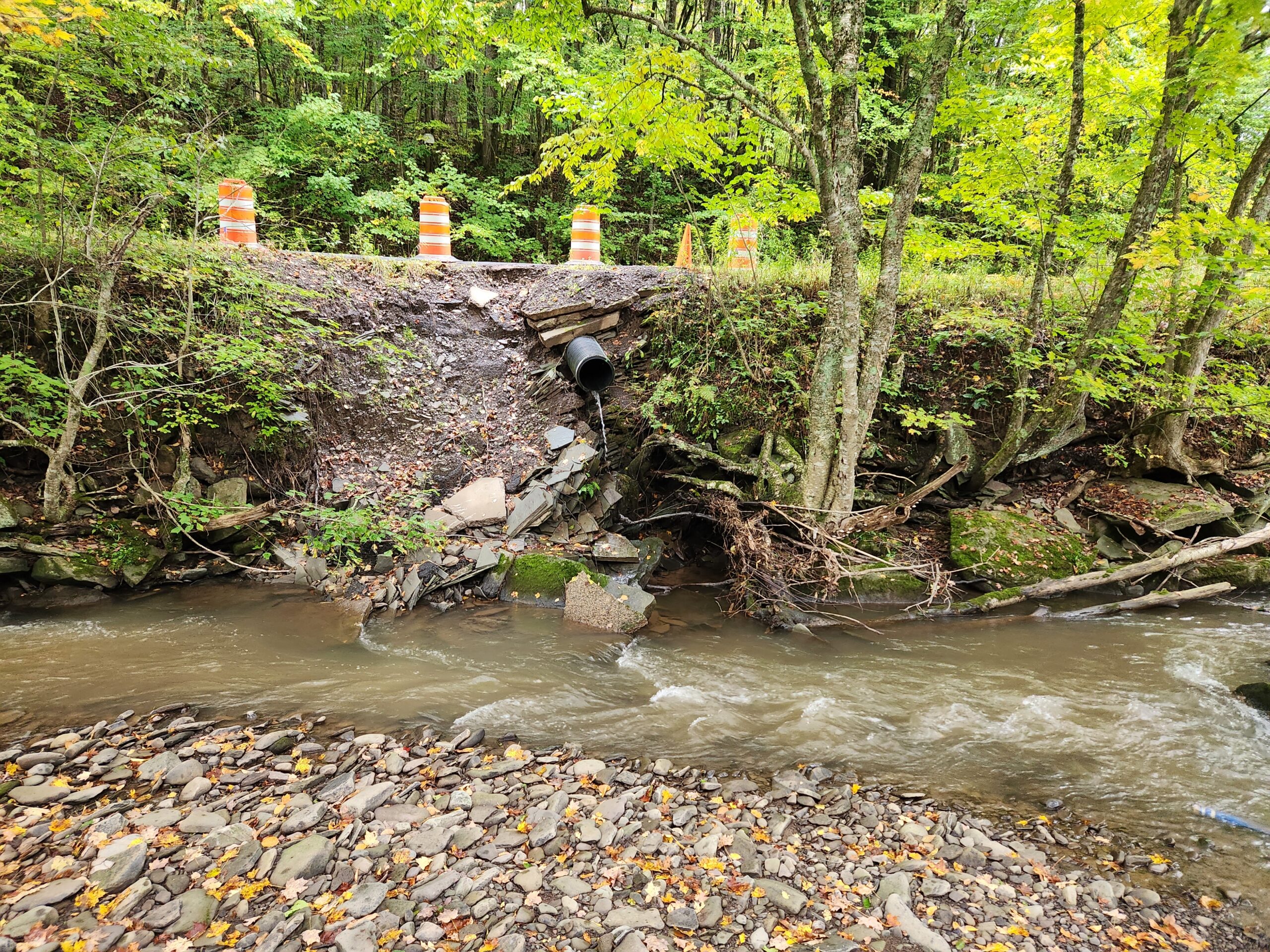
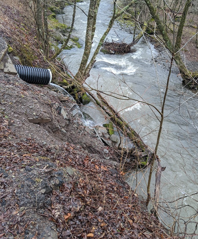
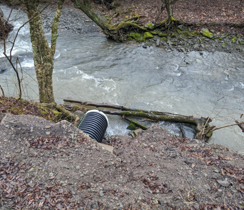
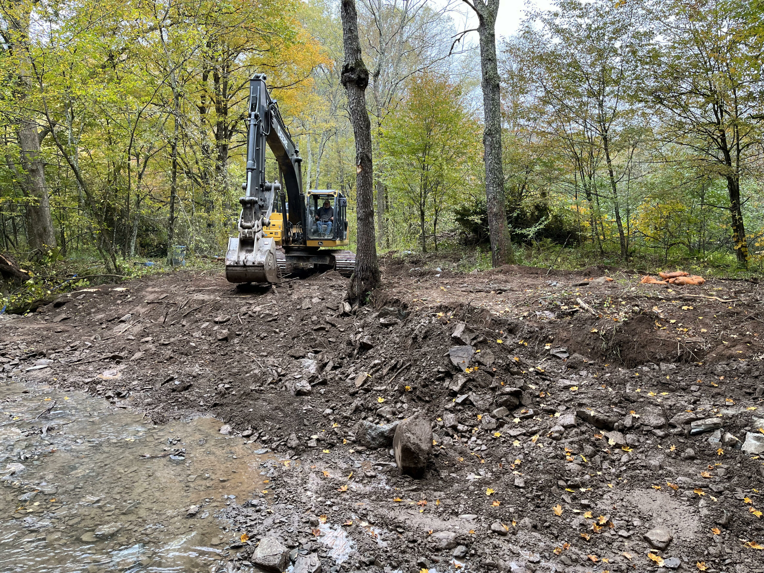
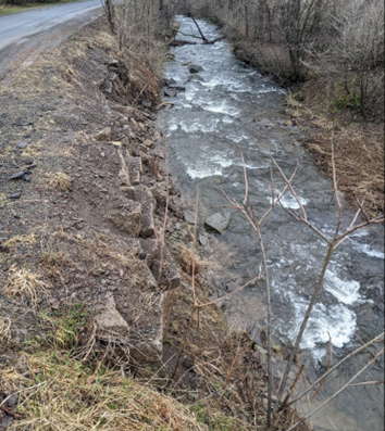
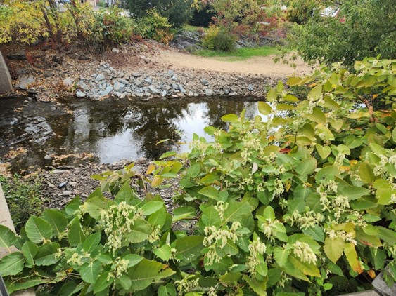
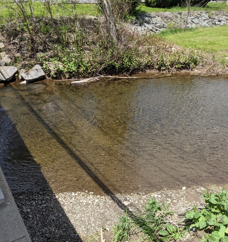
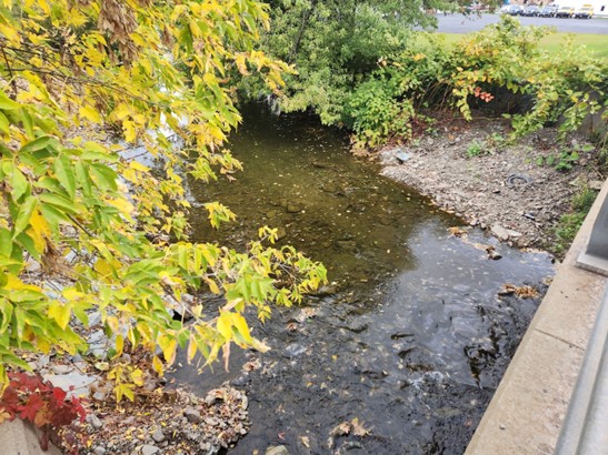
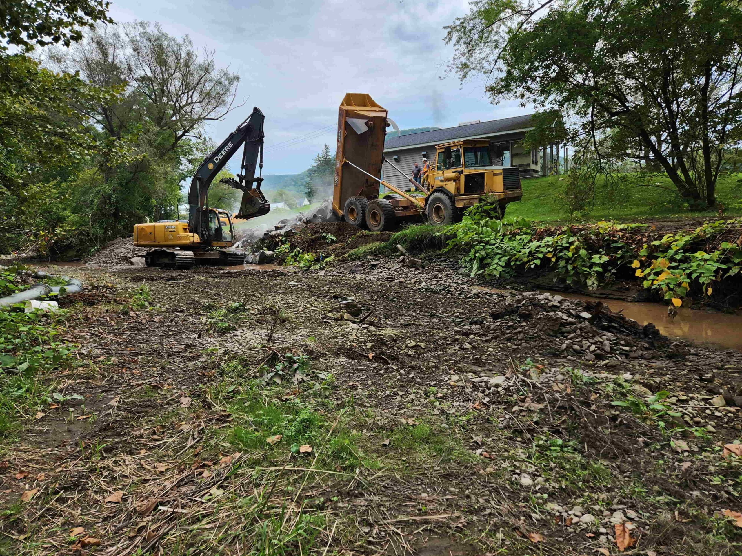
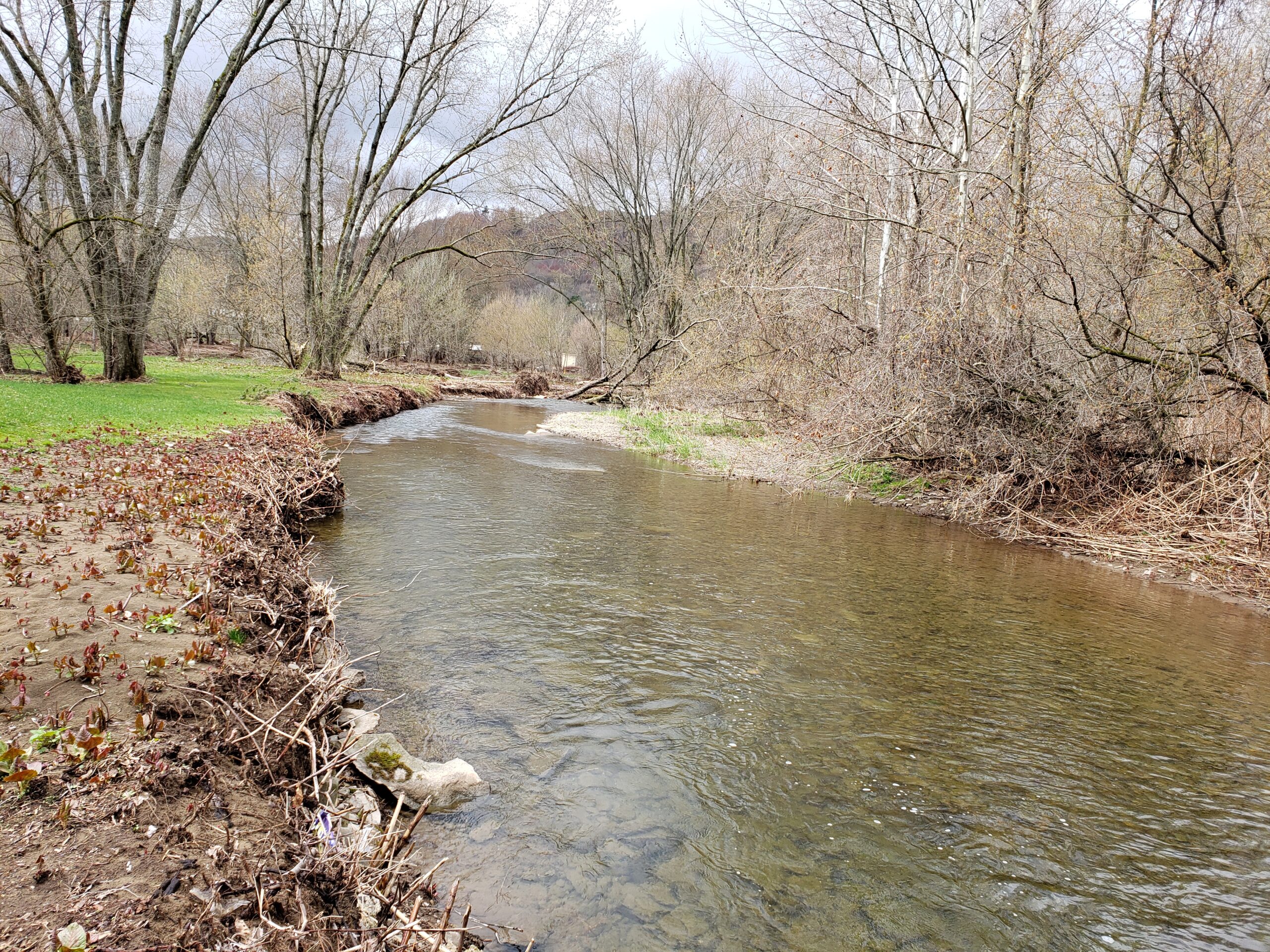
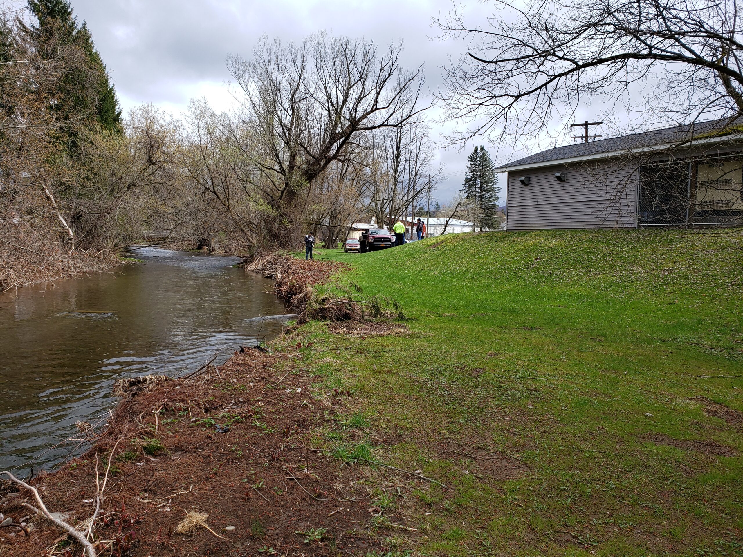
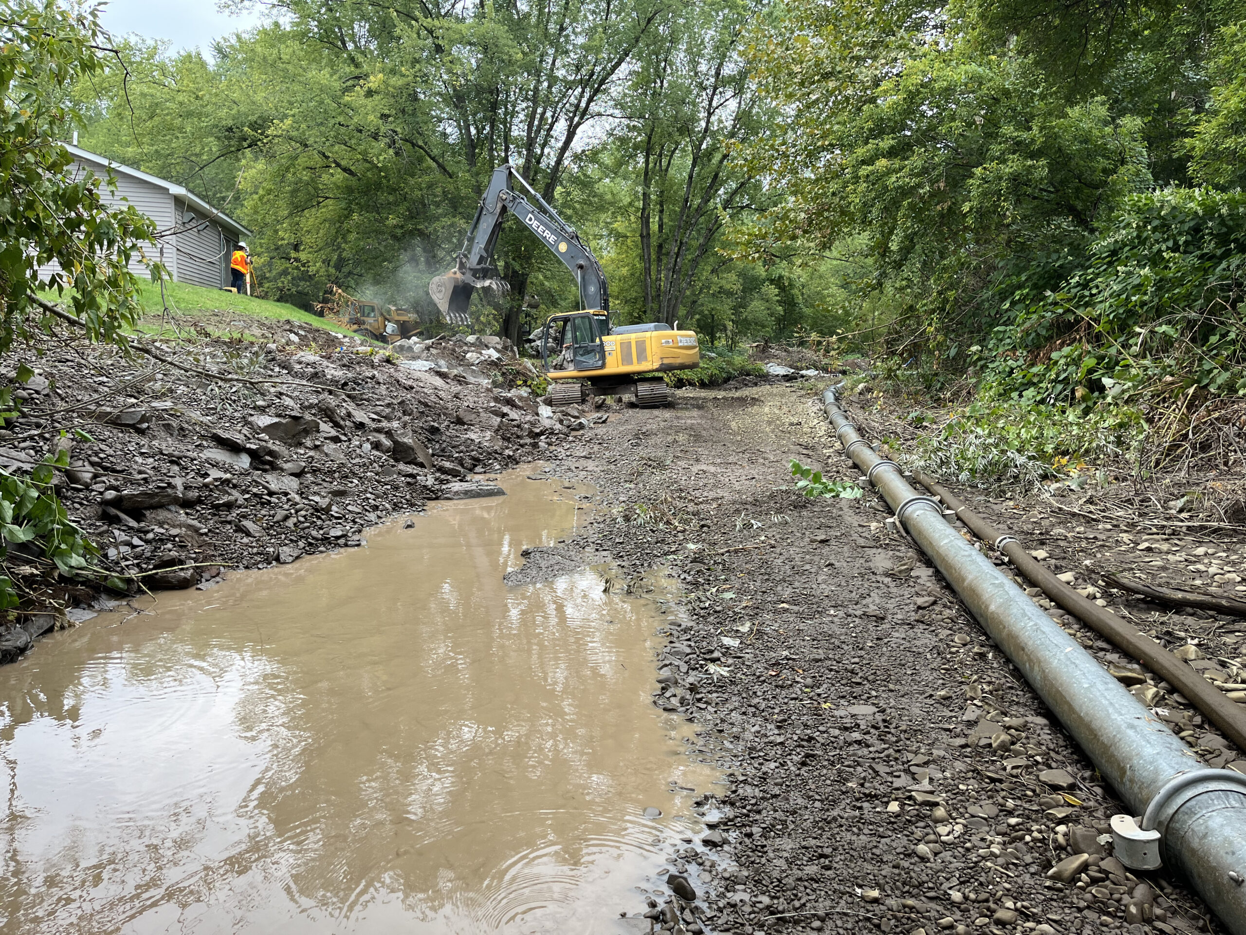
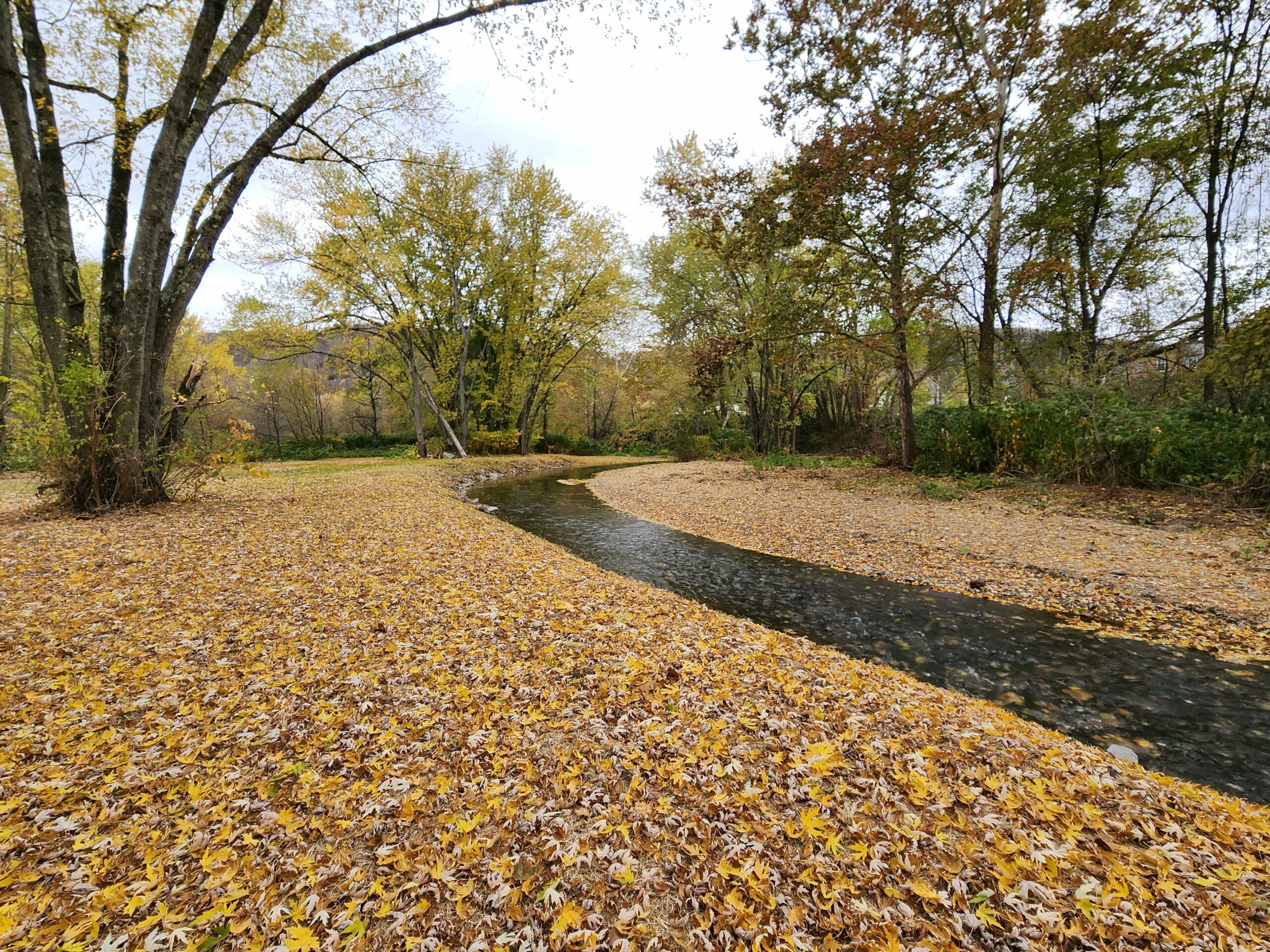
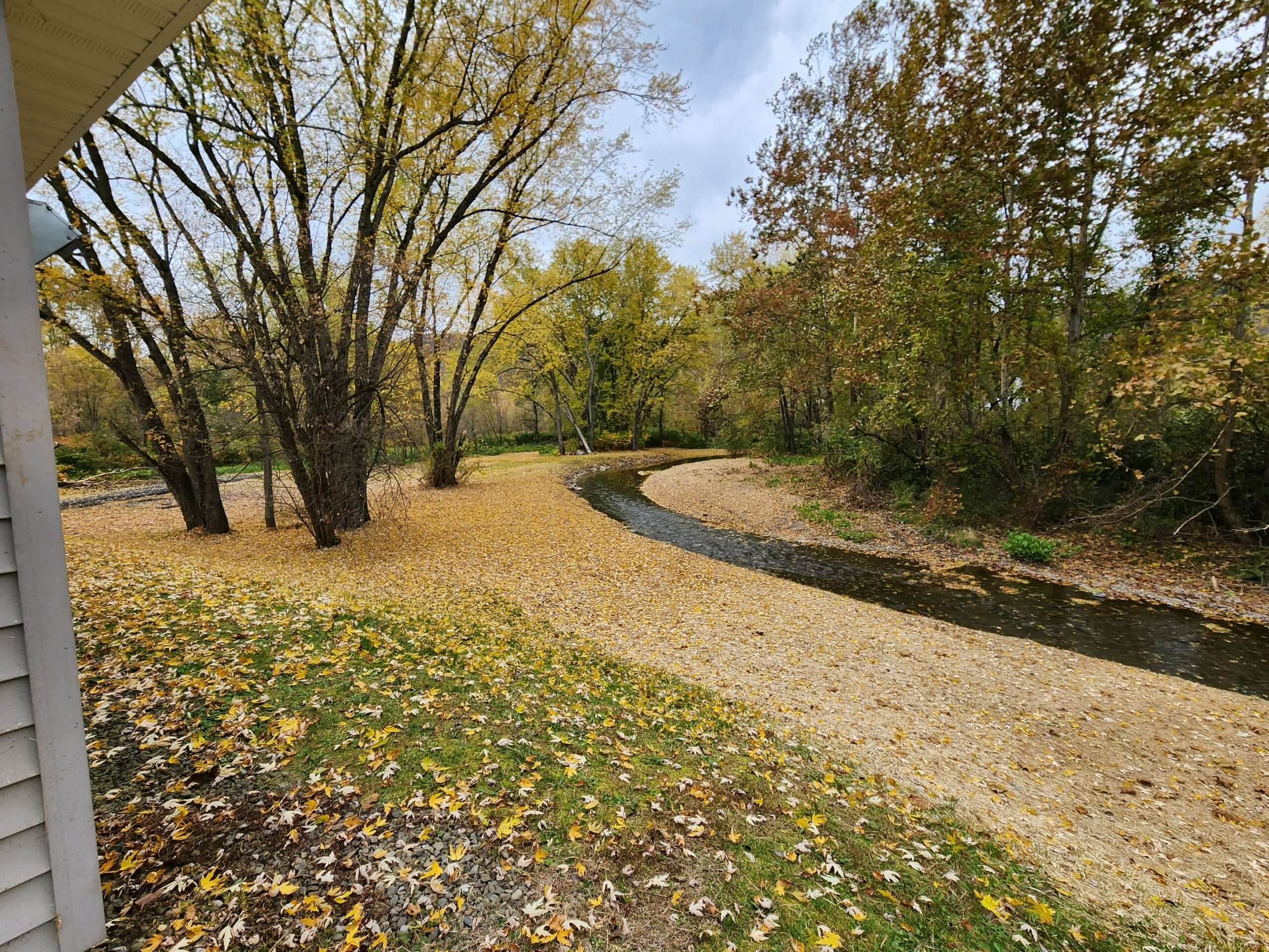
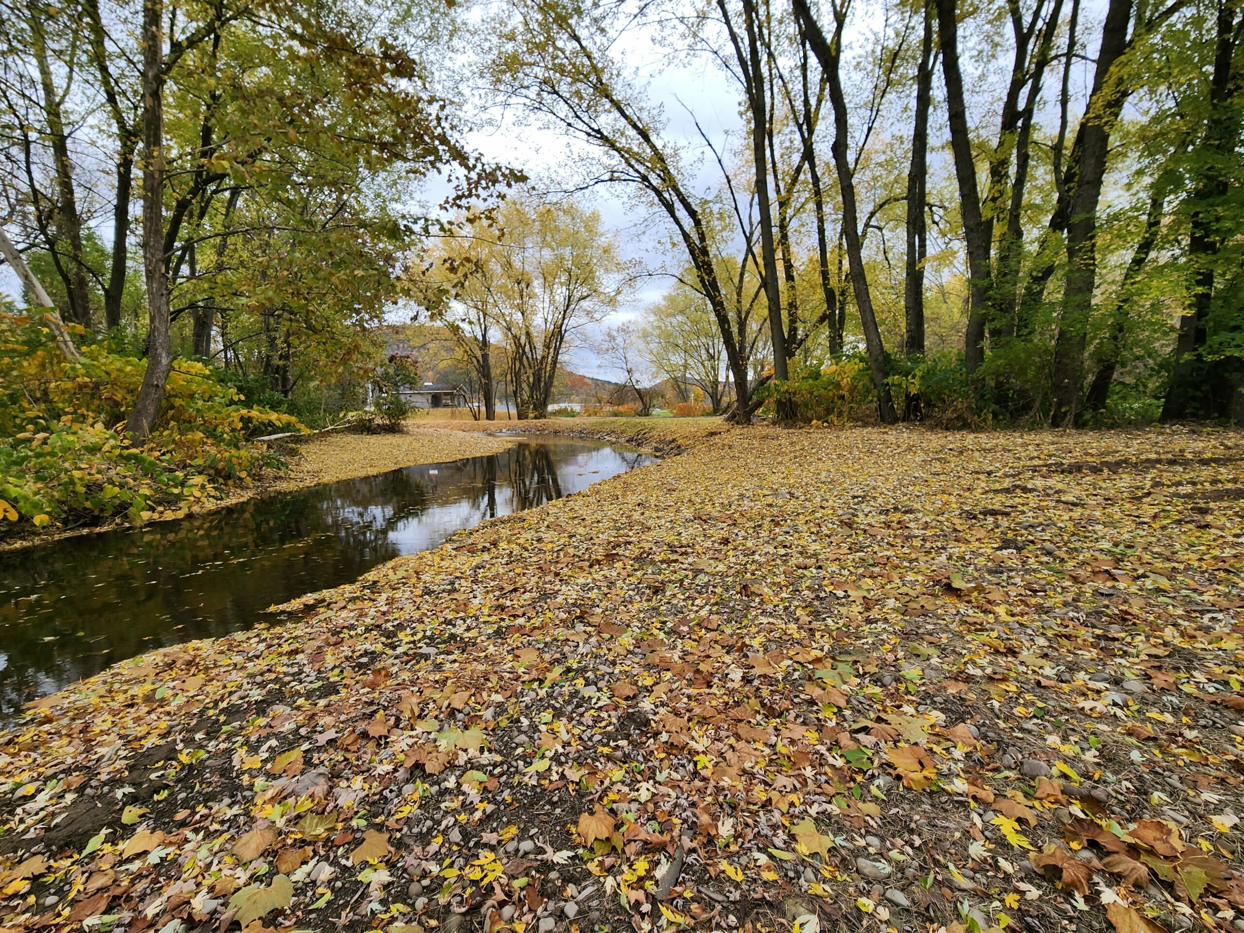
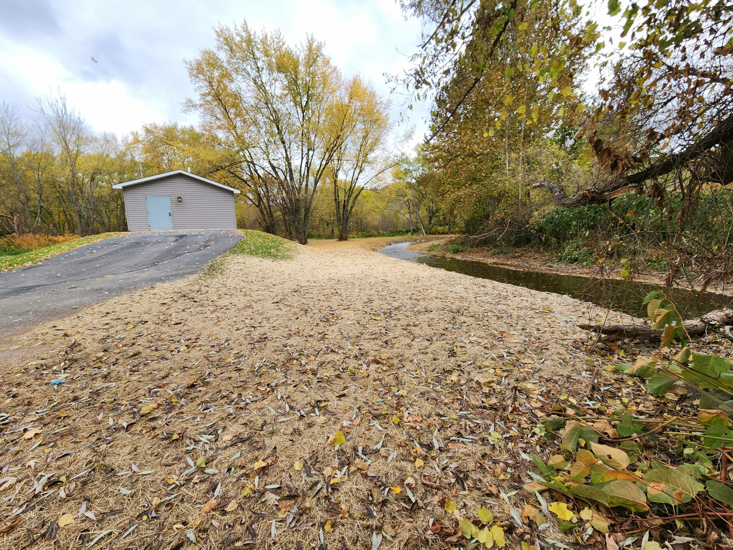
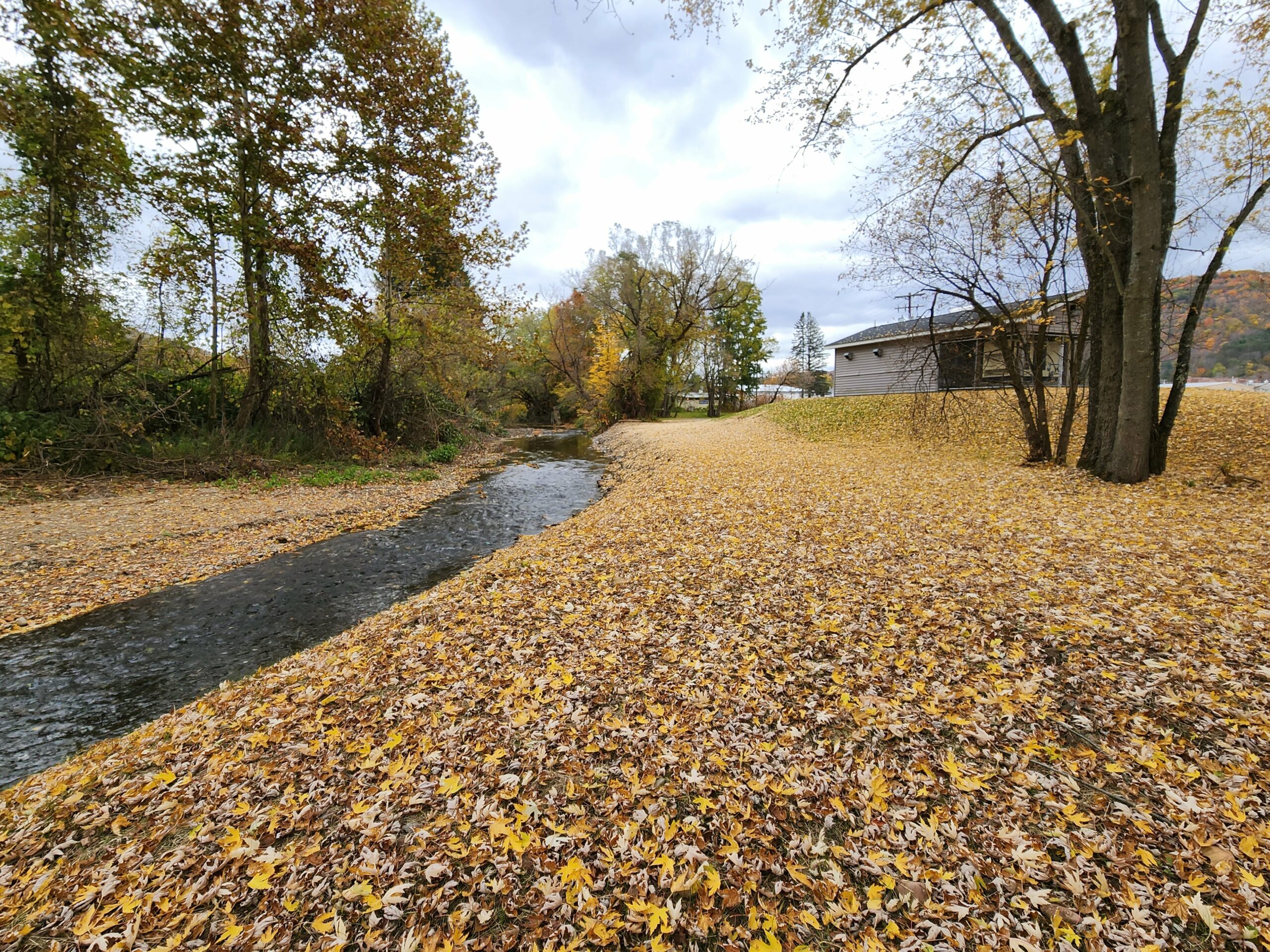
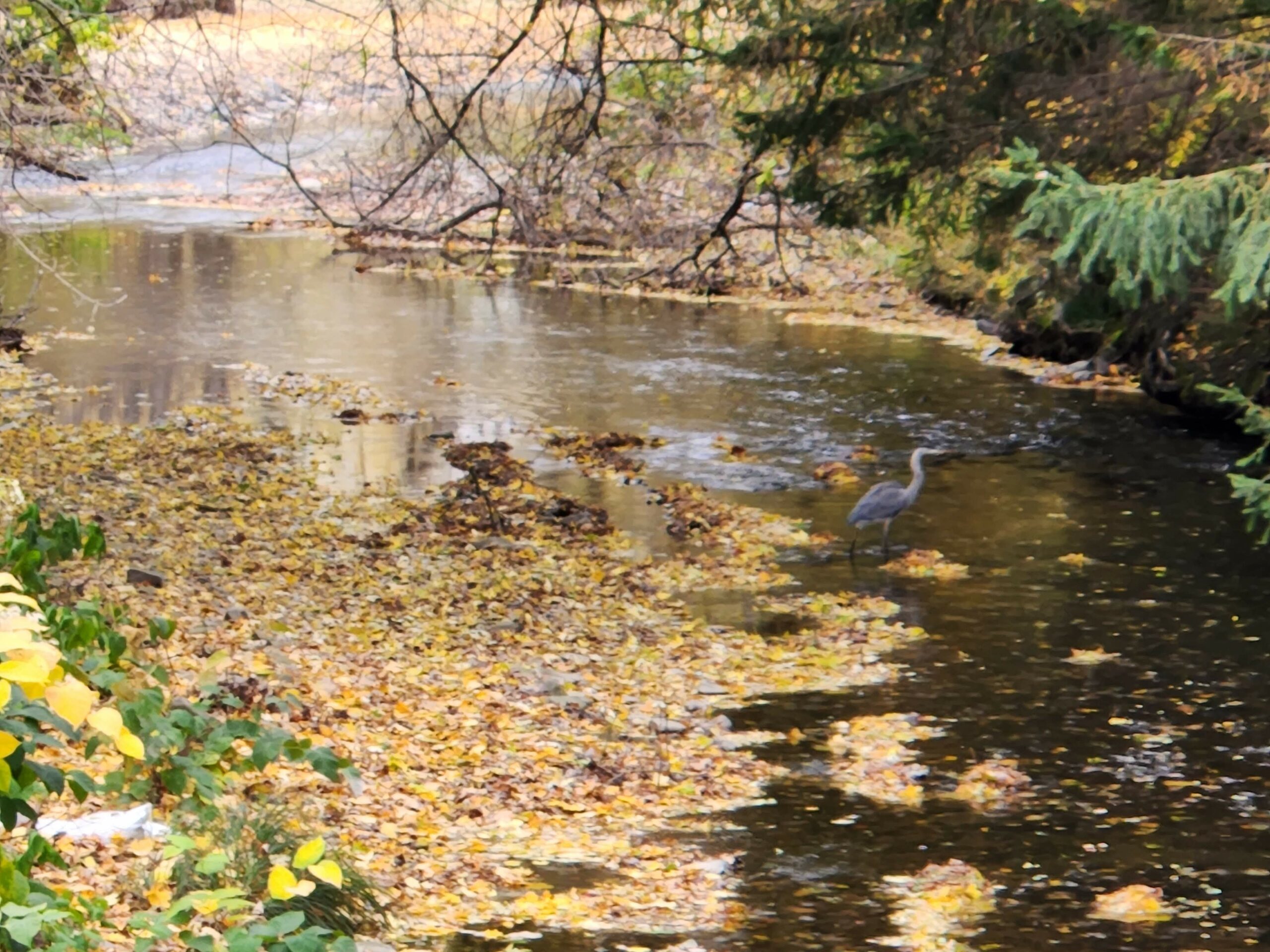
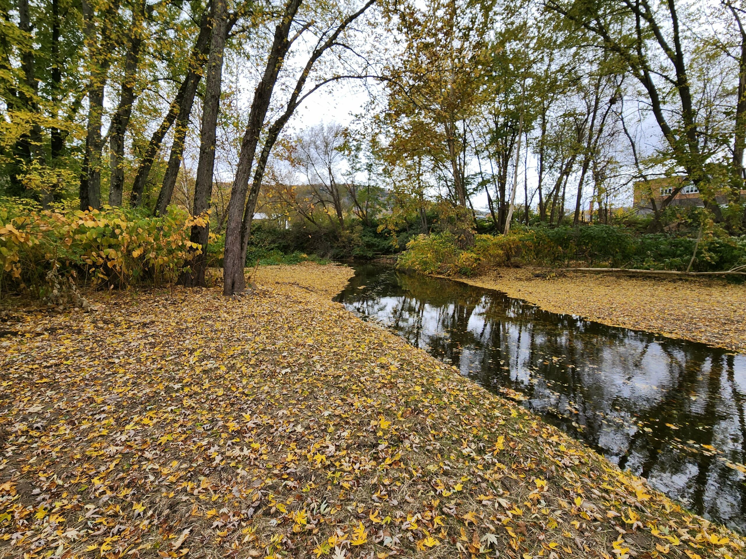
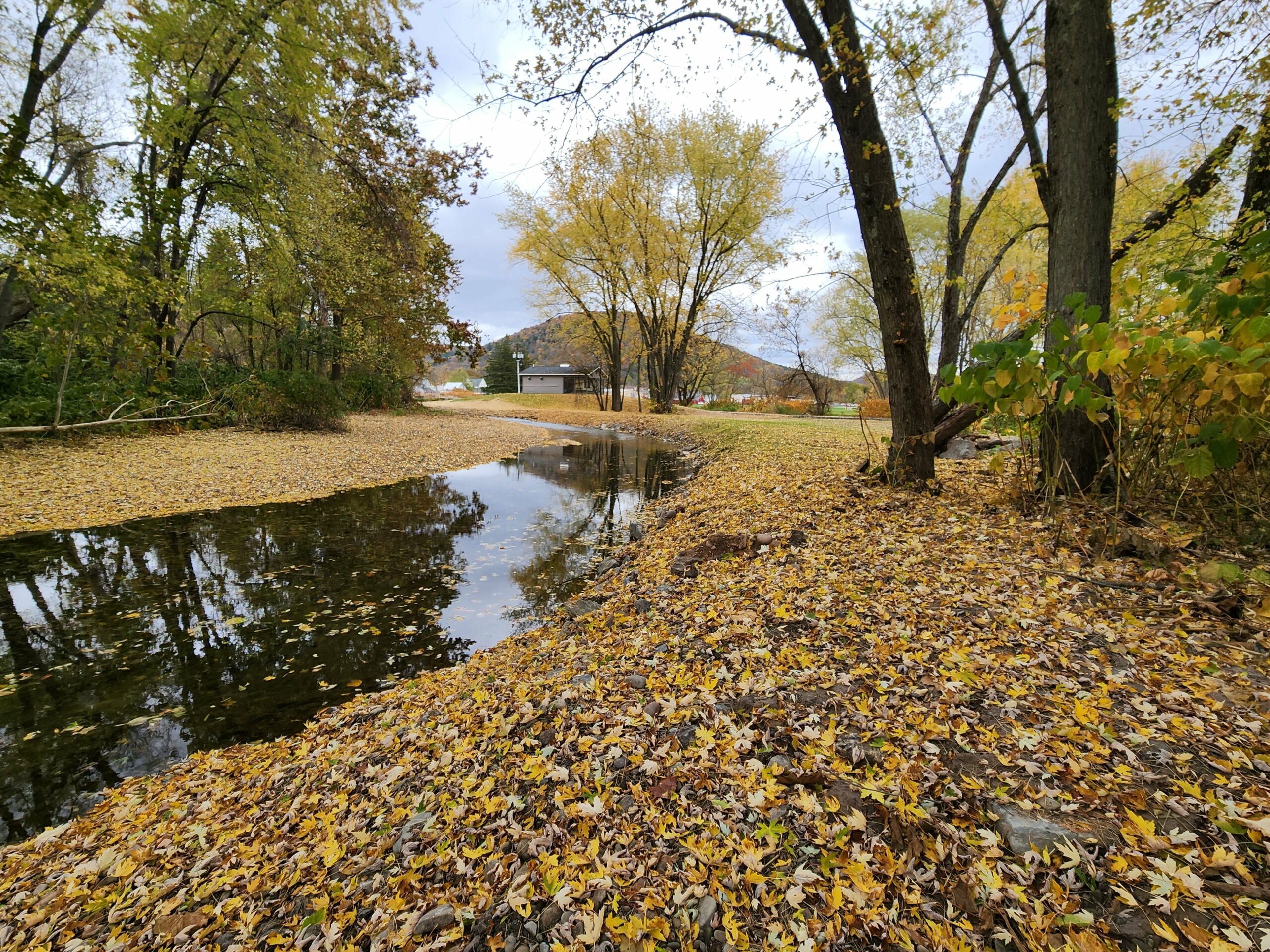
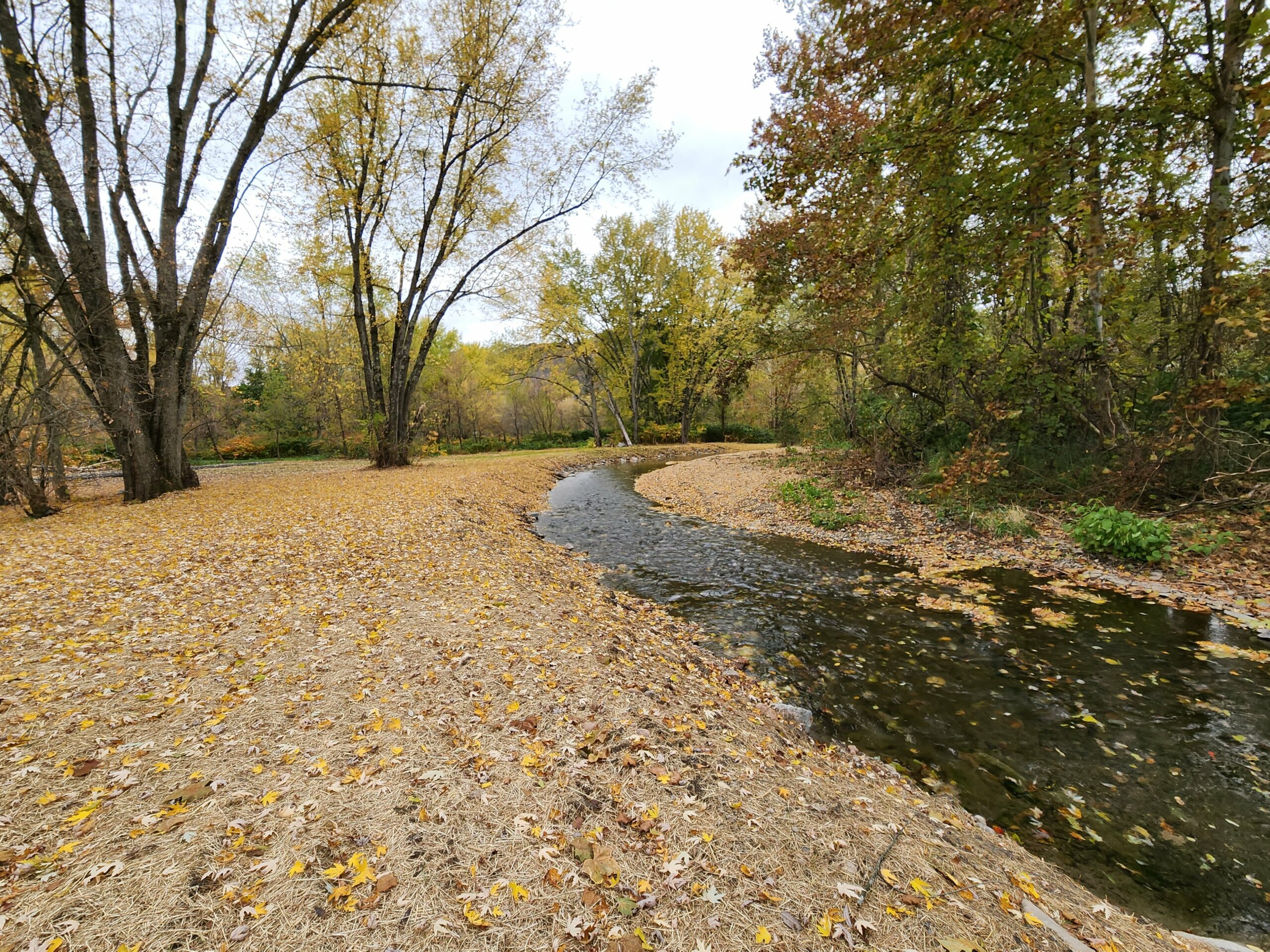
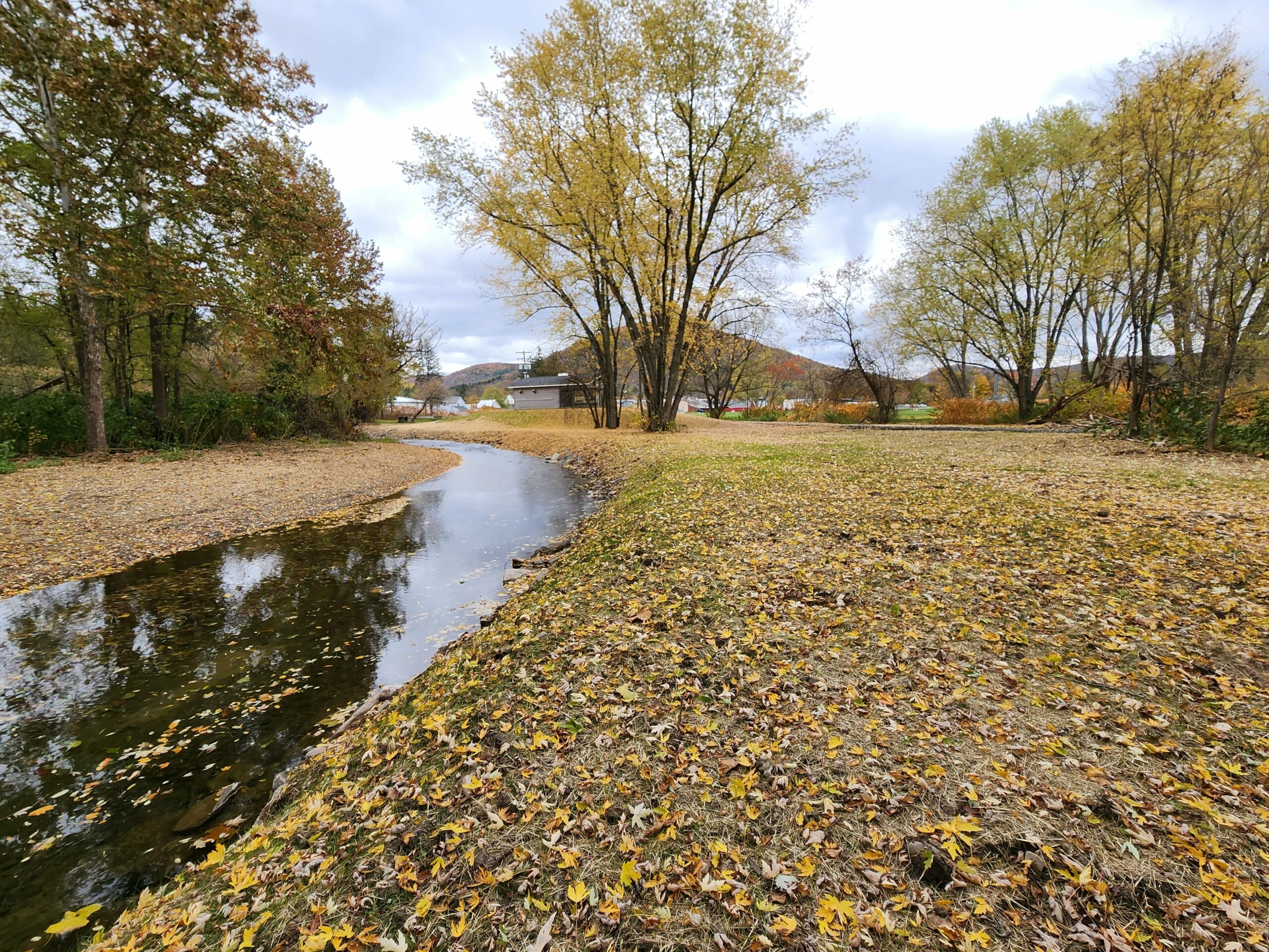
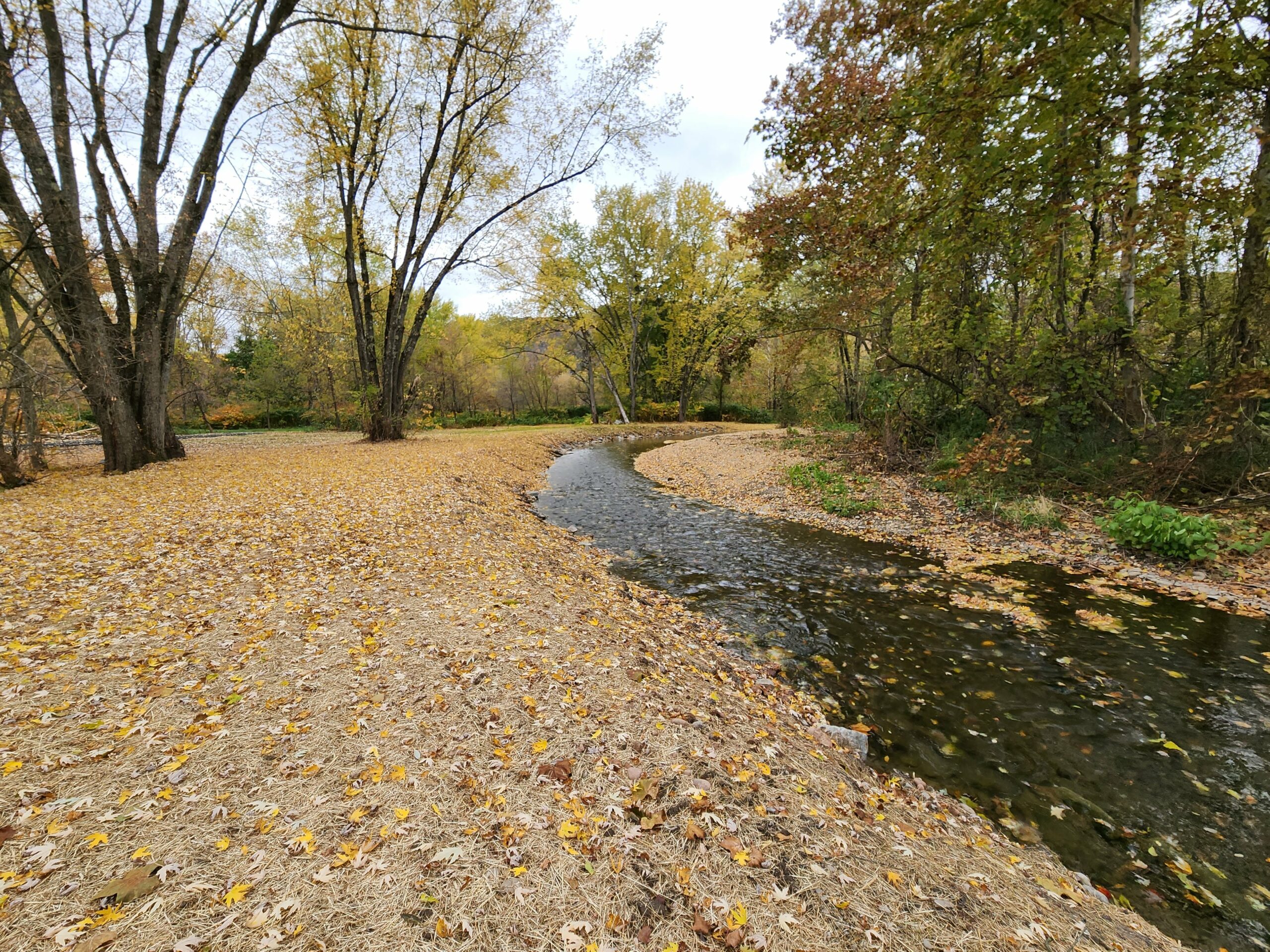
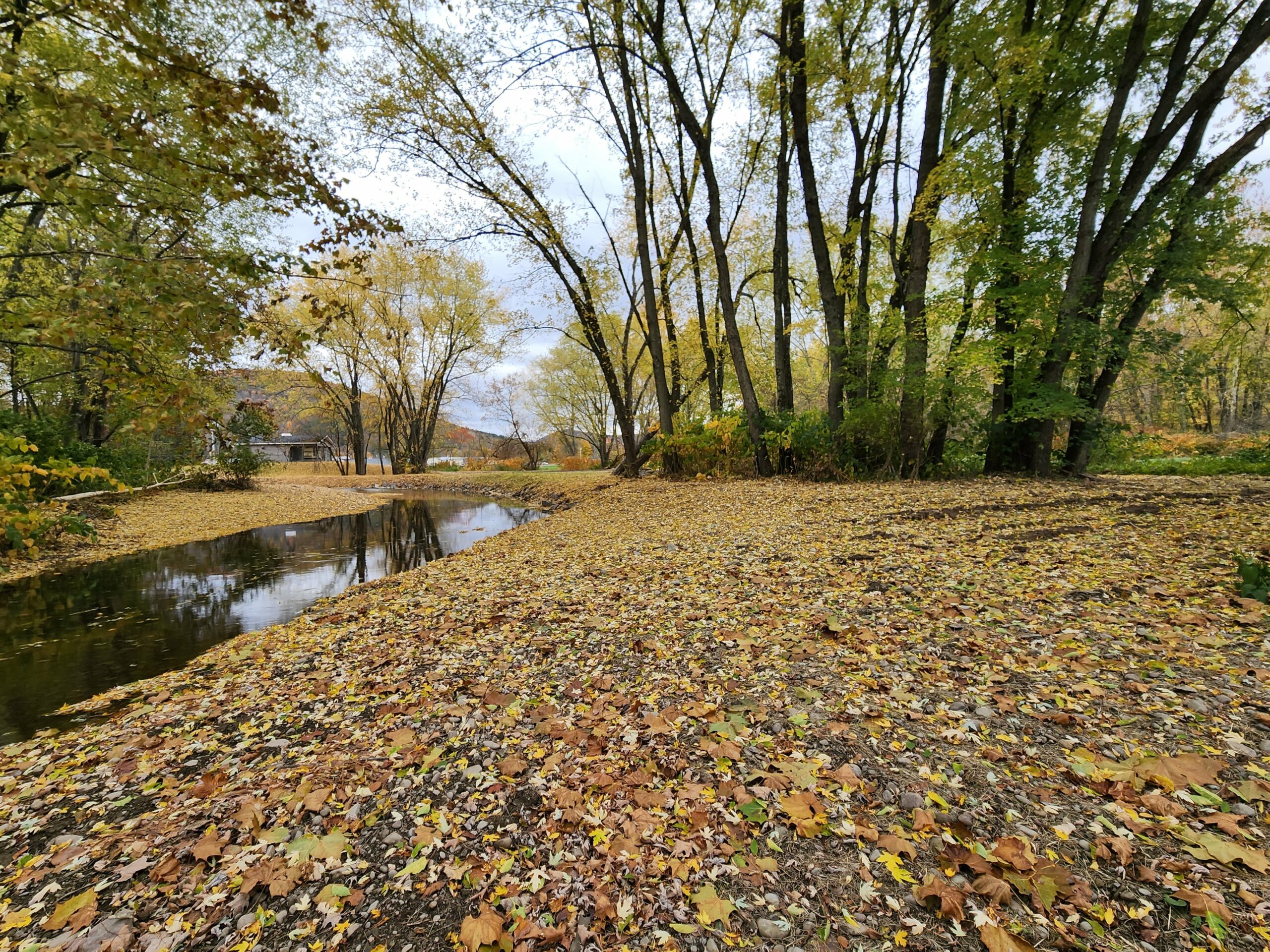
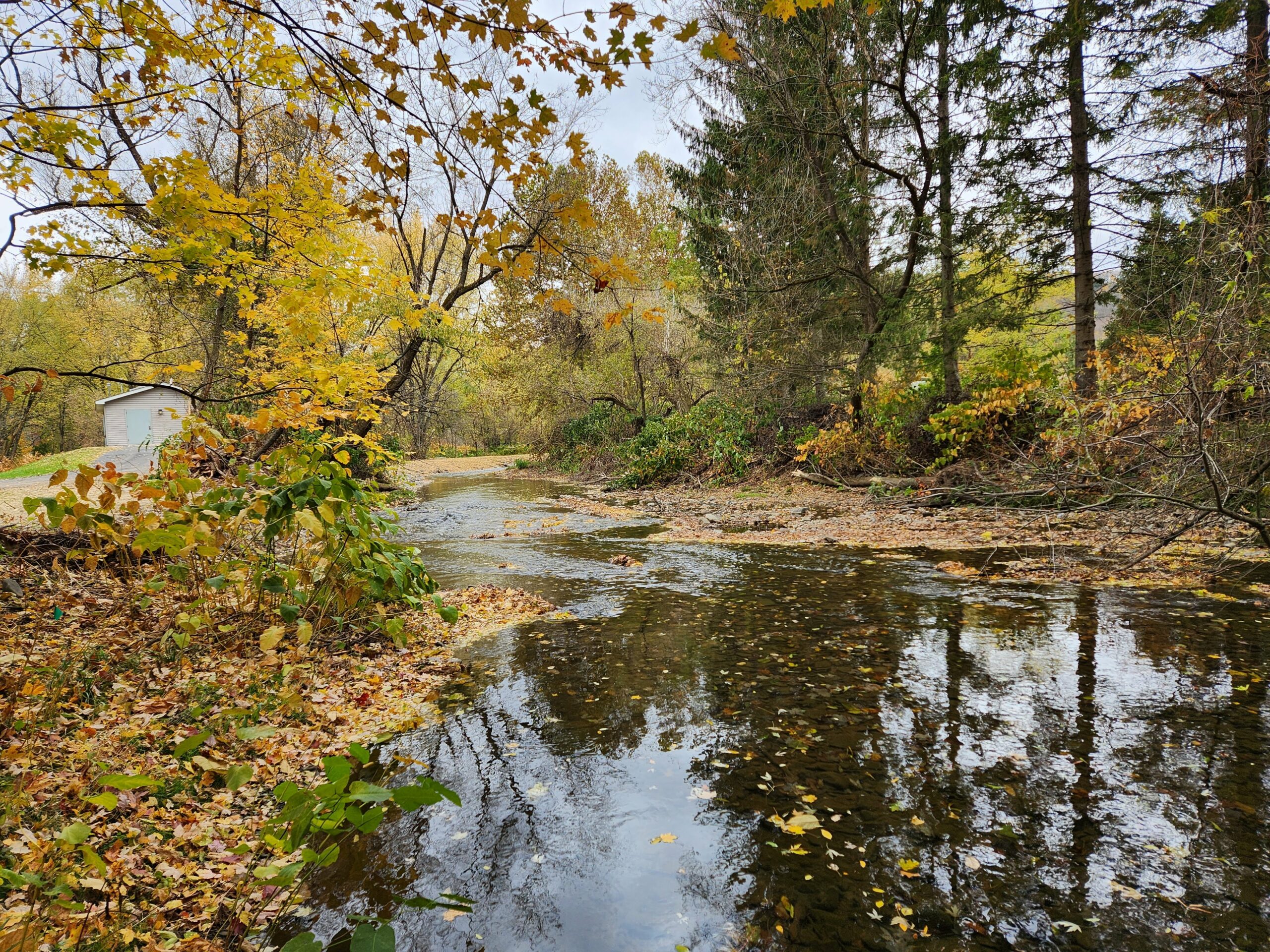
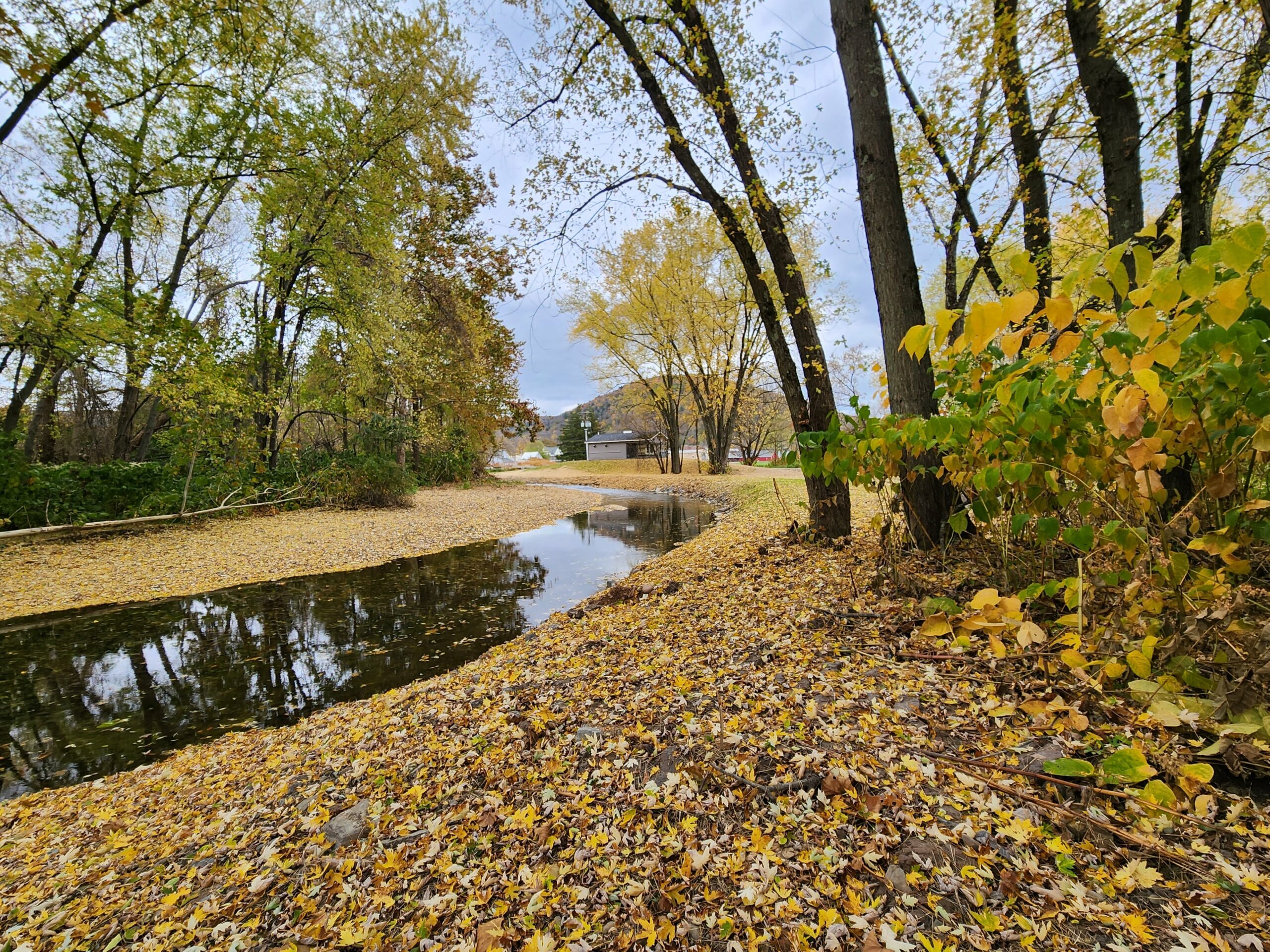
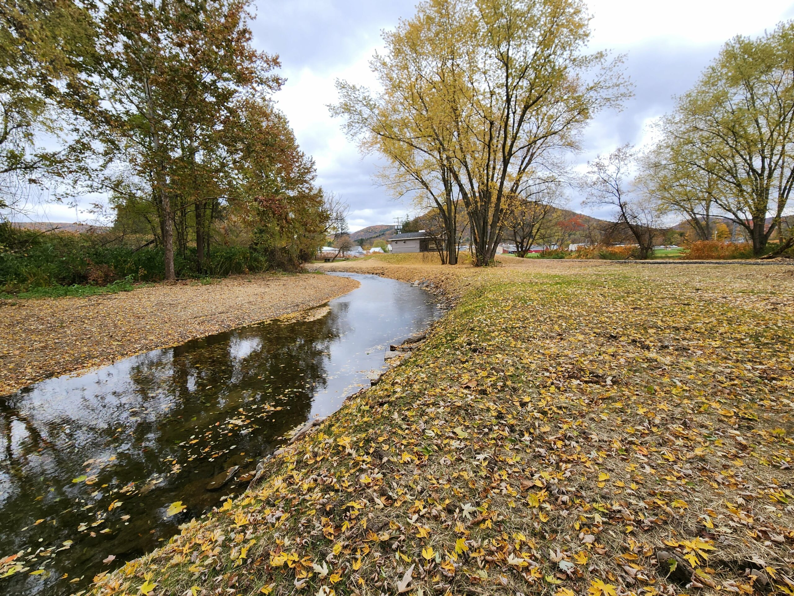
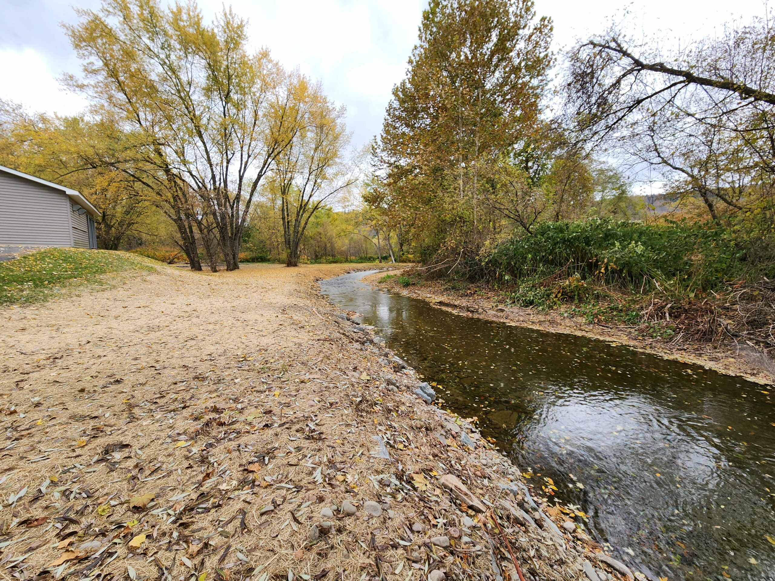
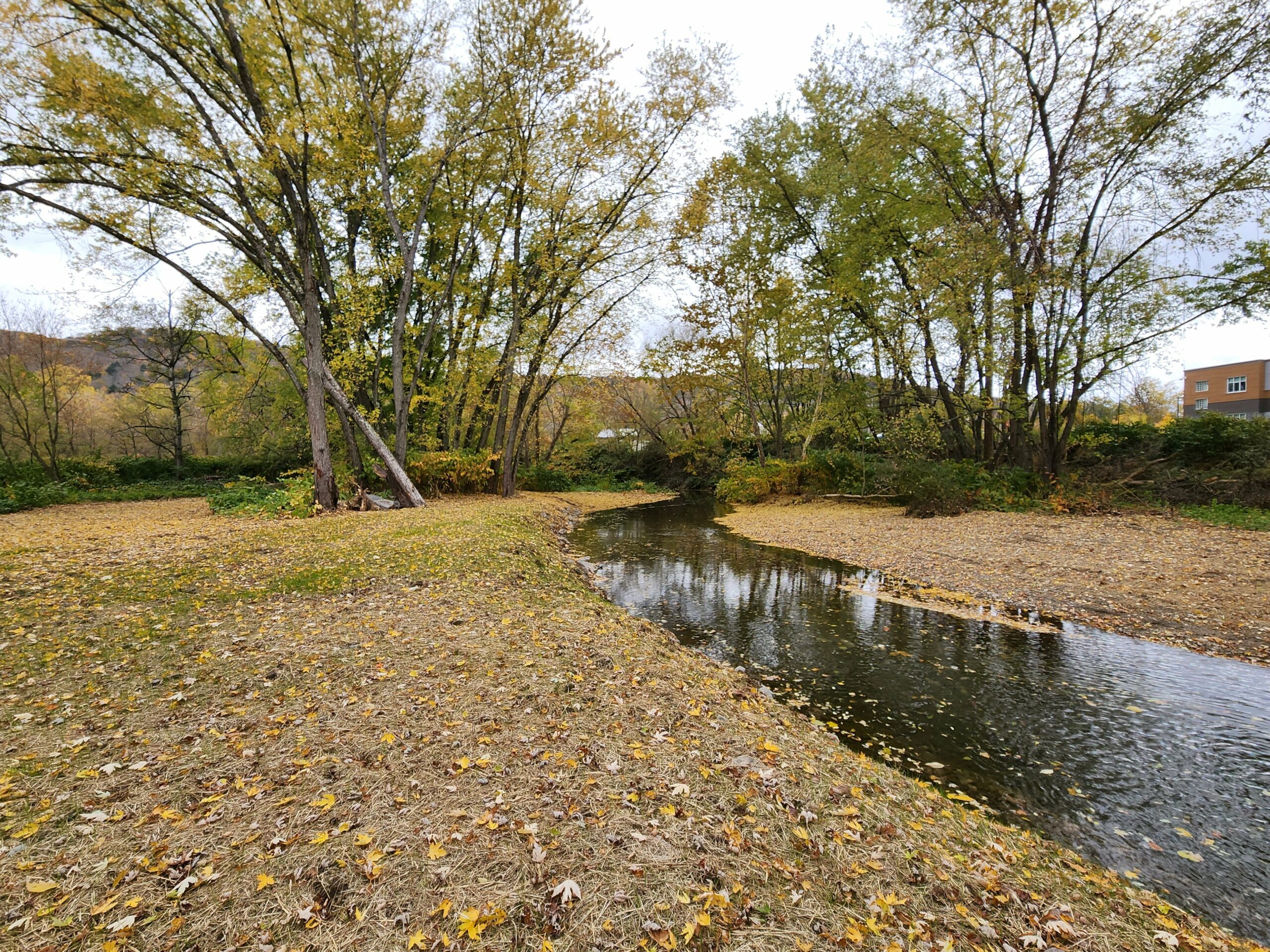
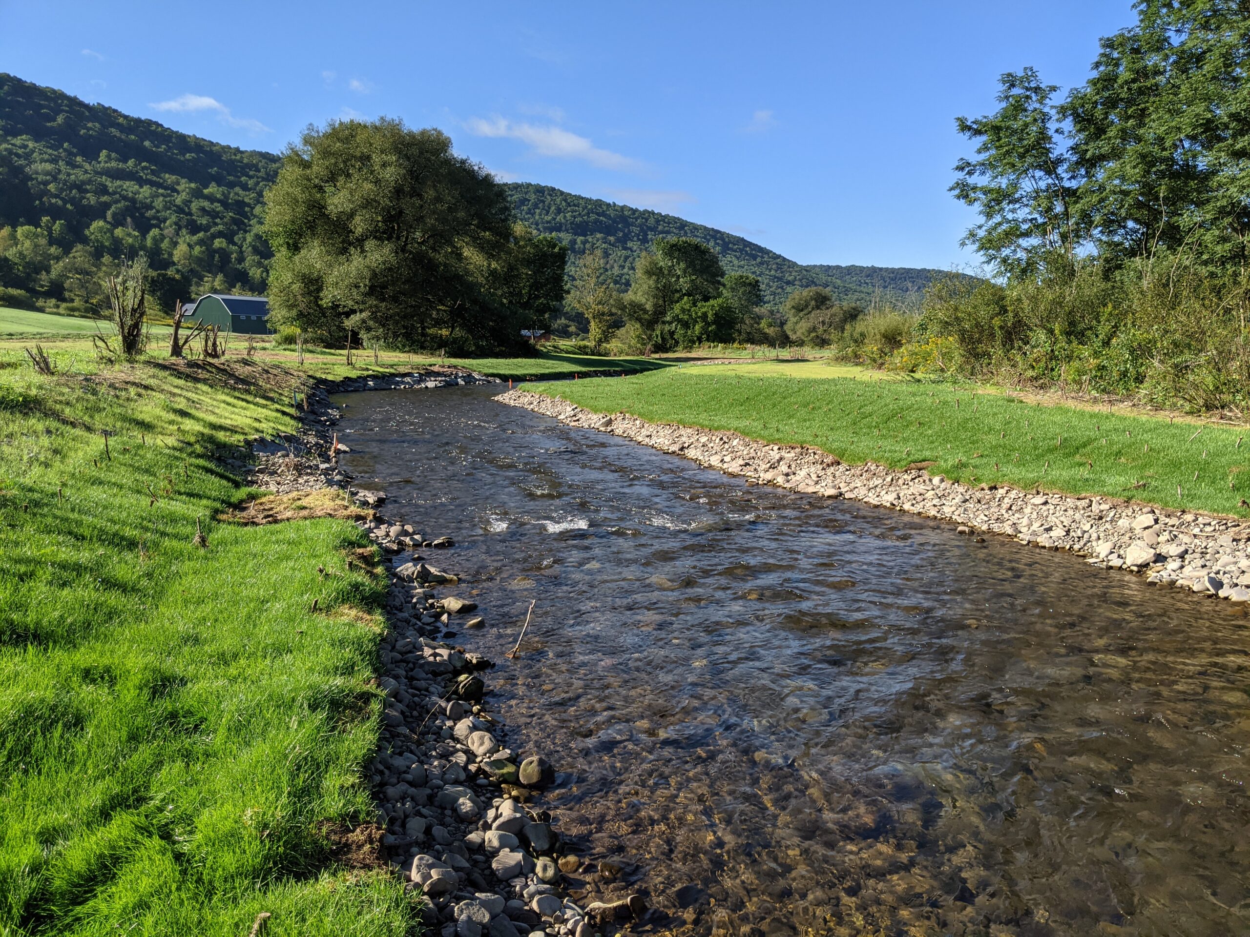
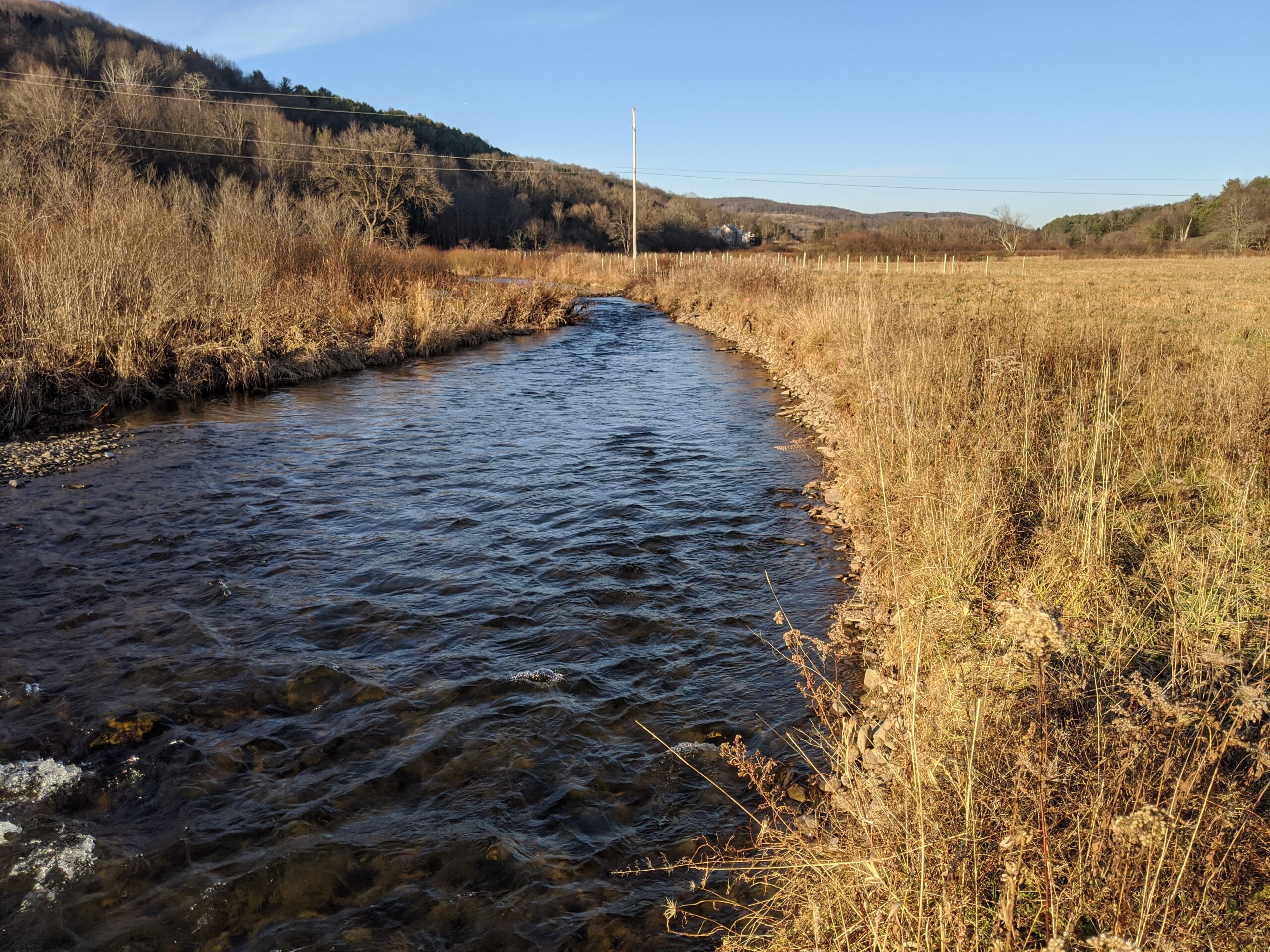
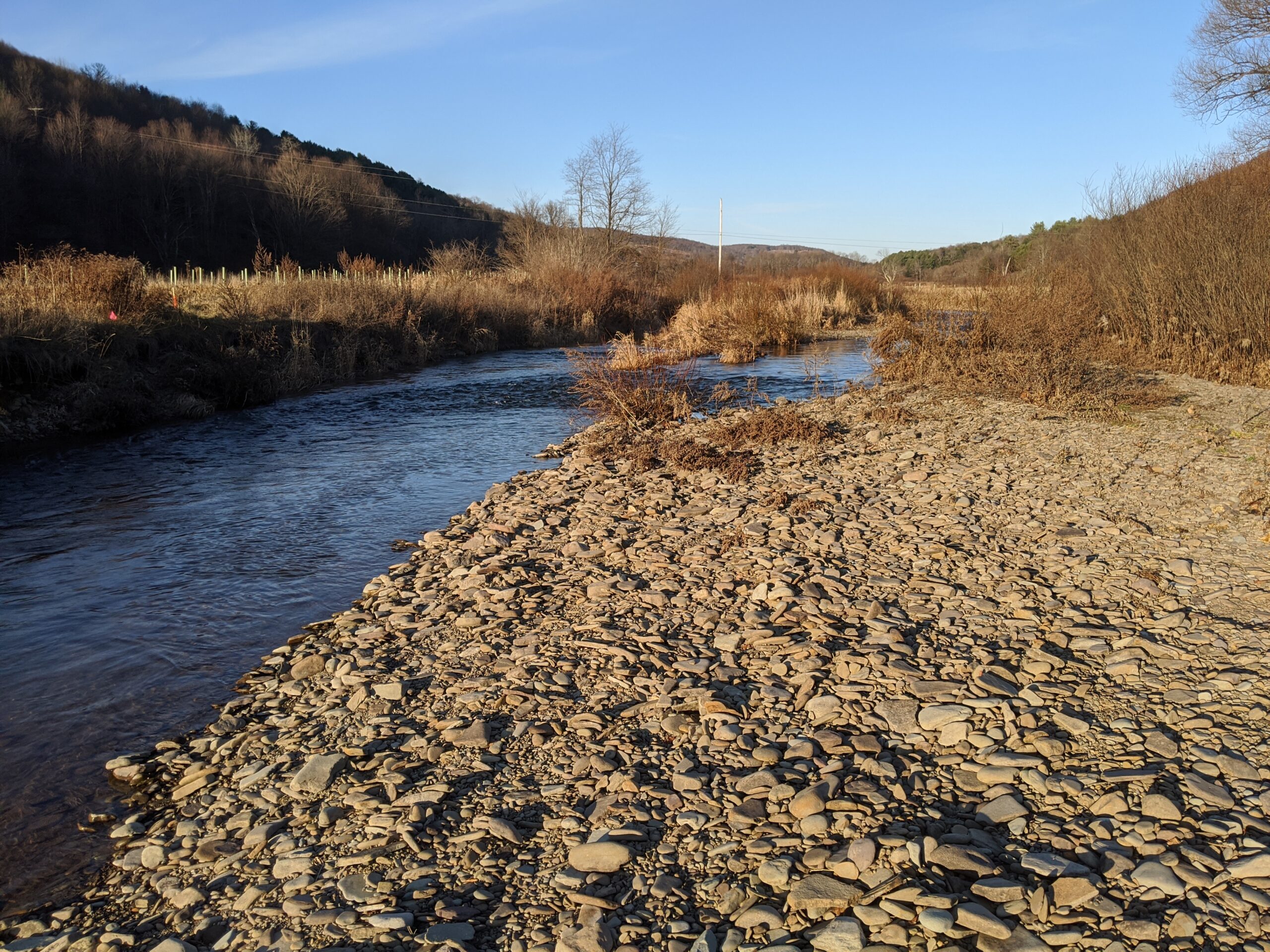
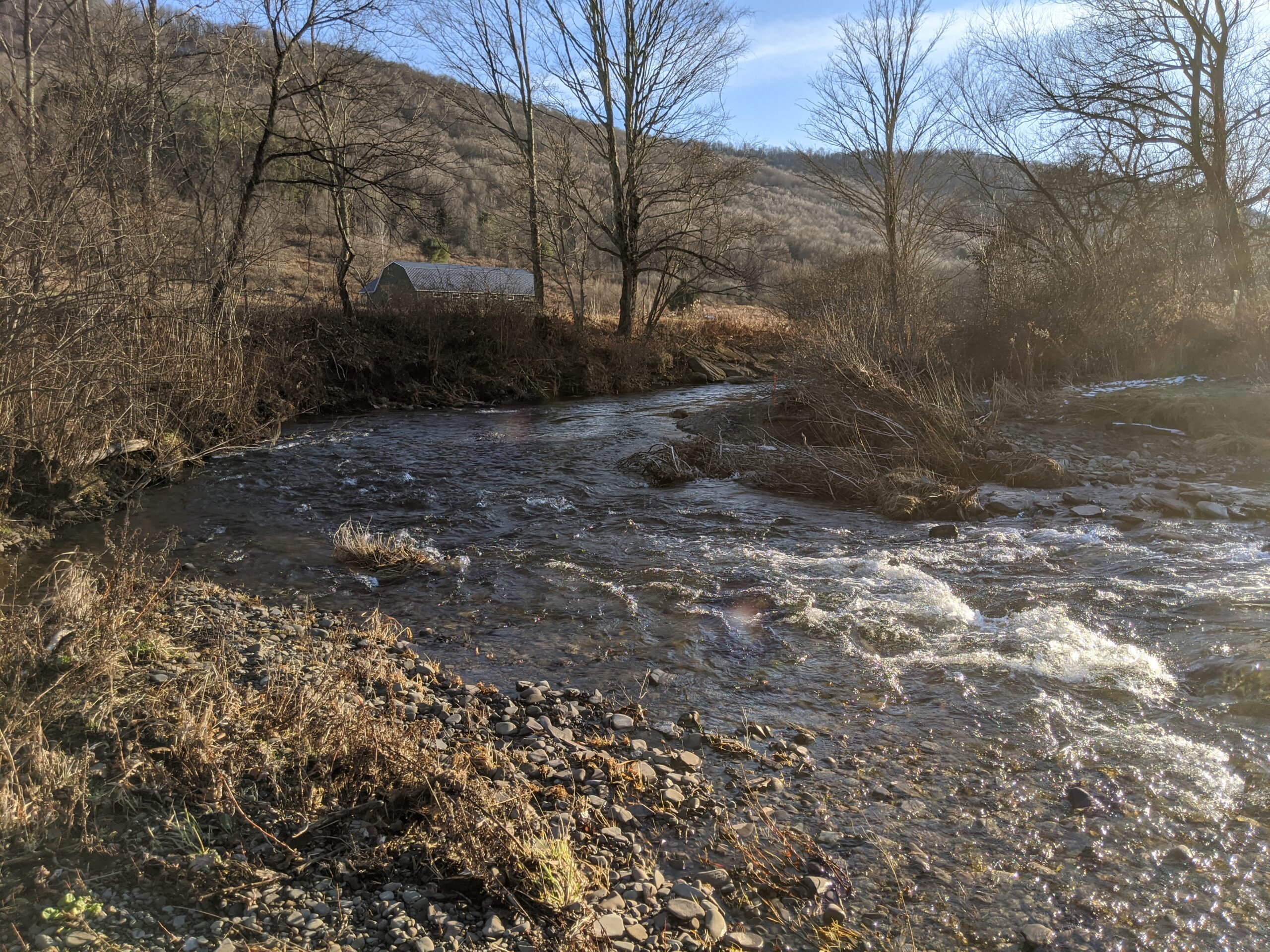
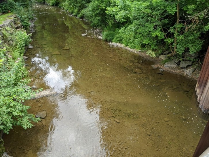
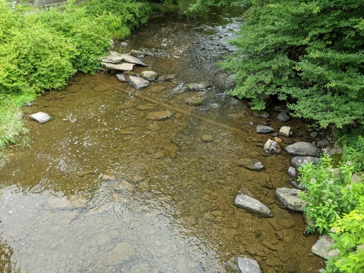
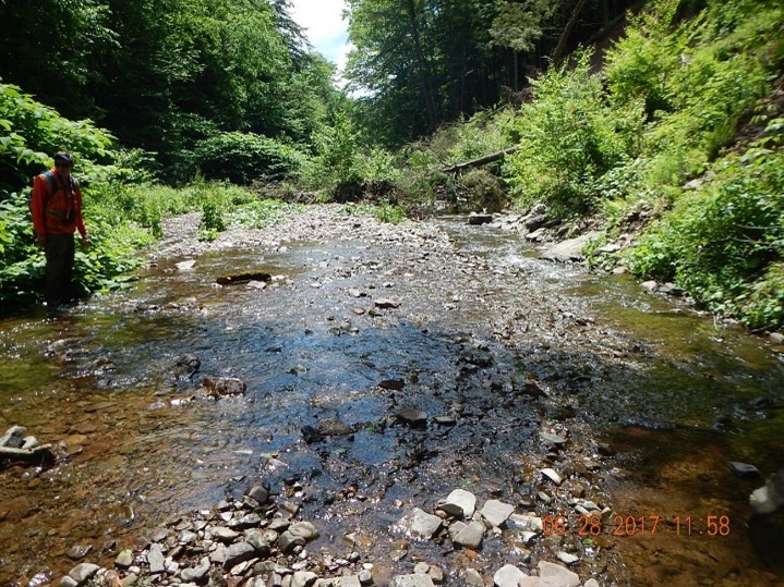
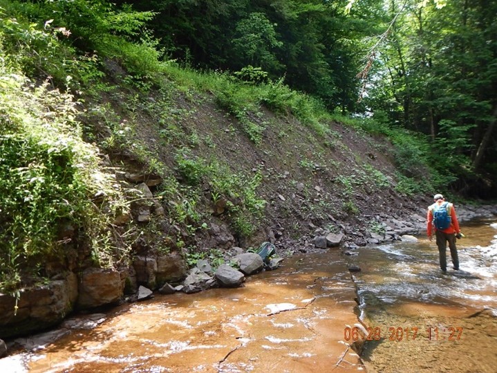
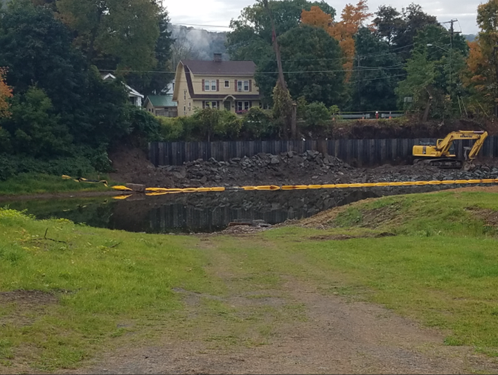
A storm event that occurred in the Town of Hamden between August 13 and August 15, 2018 resulted in streambank erosion at several locations adjacent to town-maintained roads. The project is located approximately 1,450 linear feet downstream of the intersection of Terry Clove Road, Basin Clove Road, and Coles Clove Road. At the SL 5.78 site, the Basin Clove stream has undermined the Coles Clove Road embankment. Hydraulic erosion in the vicinity of a cross culvert outlet has led to left bank erosion immediately adjacent to the roadway. Continued erosion poses risk of immediate embankment failure. The Town of Hamden applied for grant funding through the Stream Management Program.
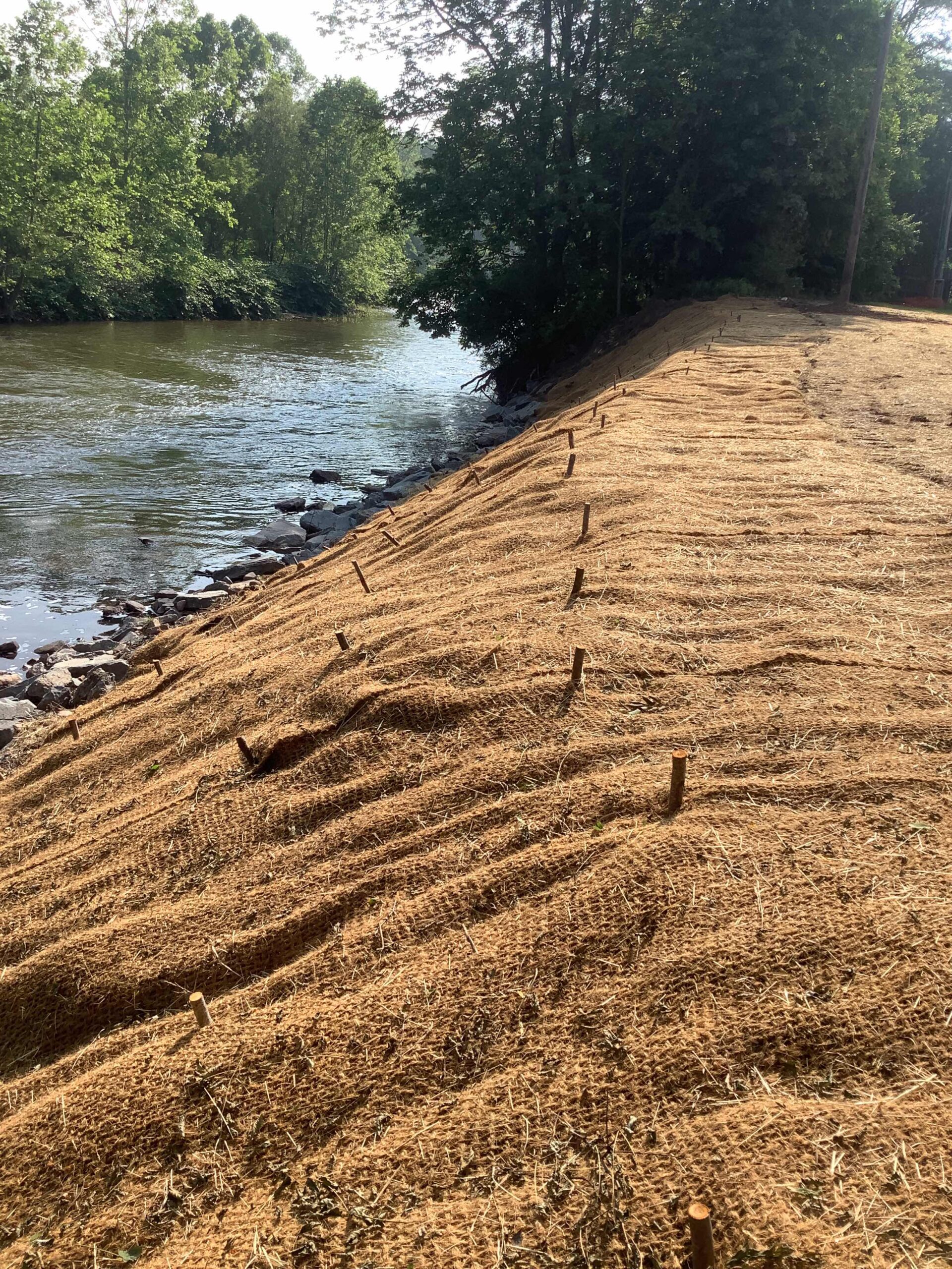
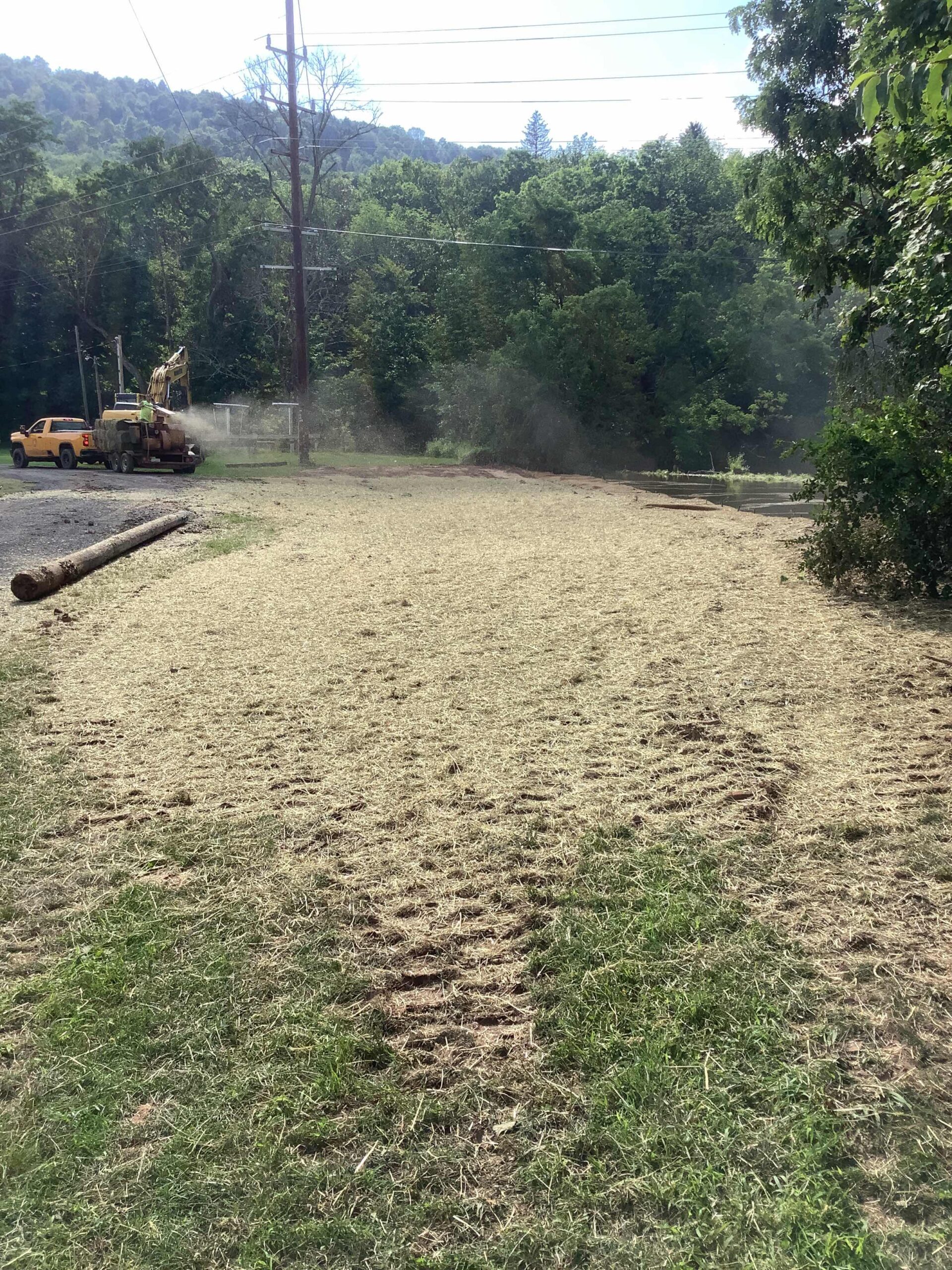
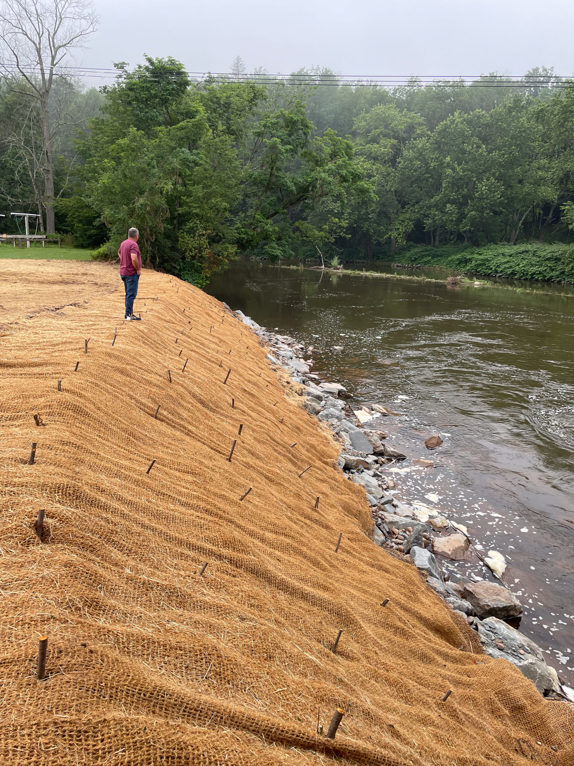
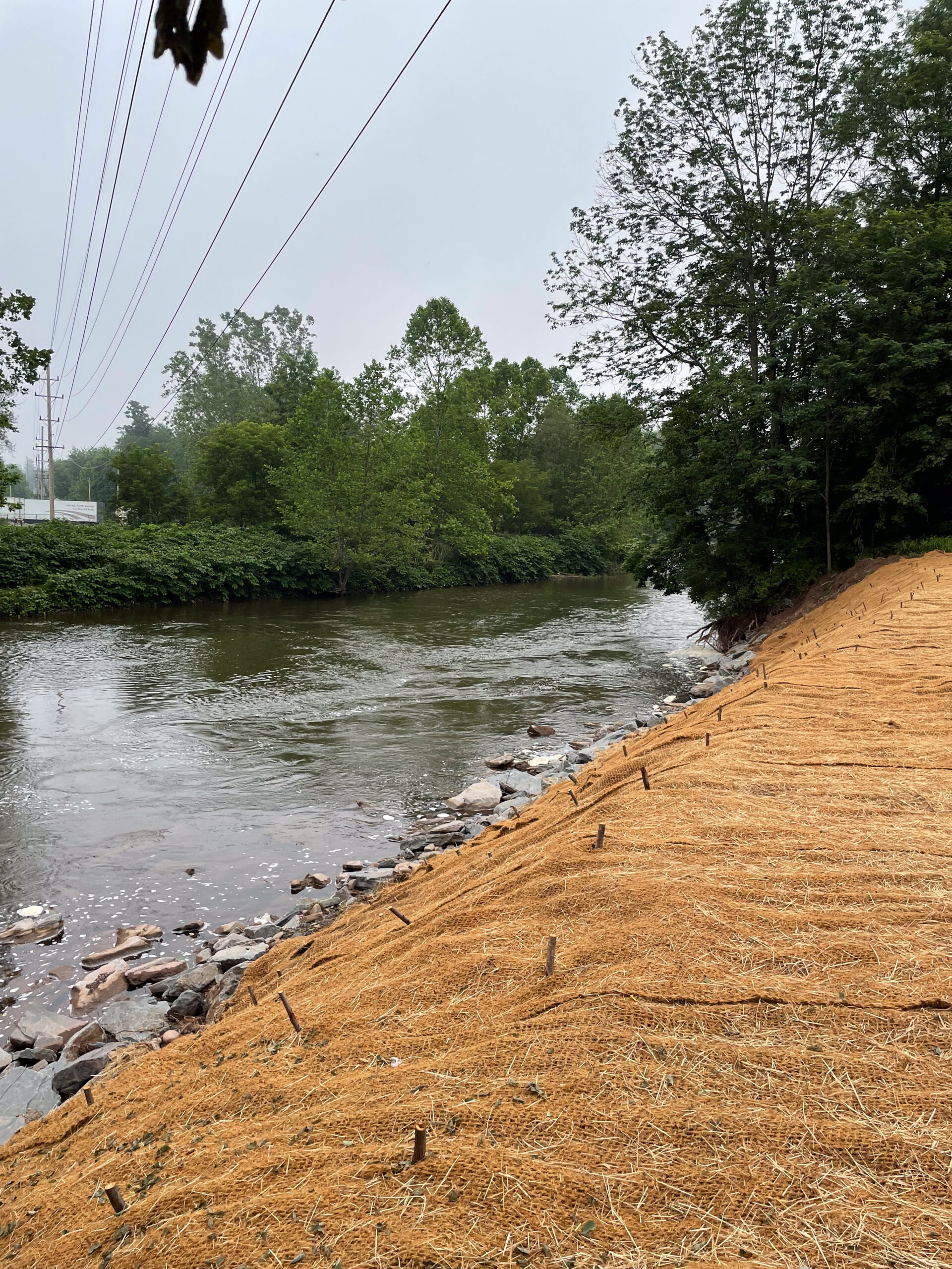
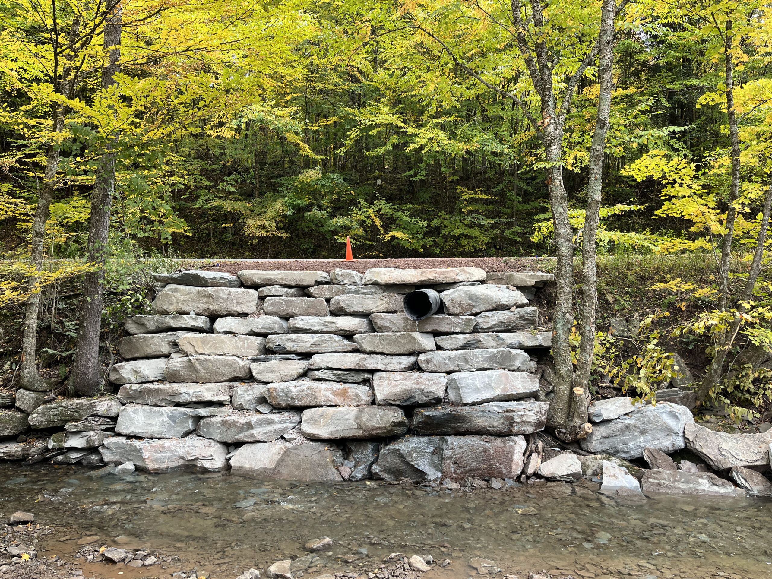
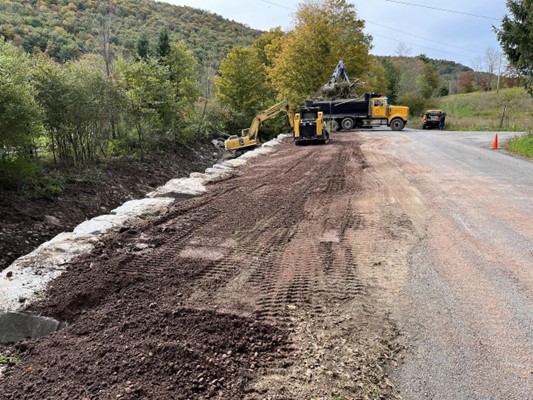
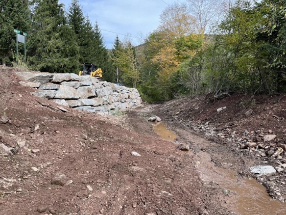
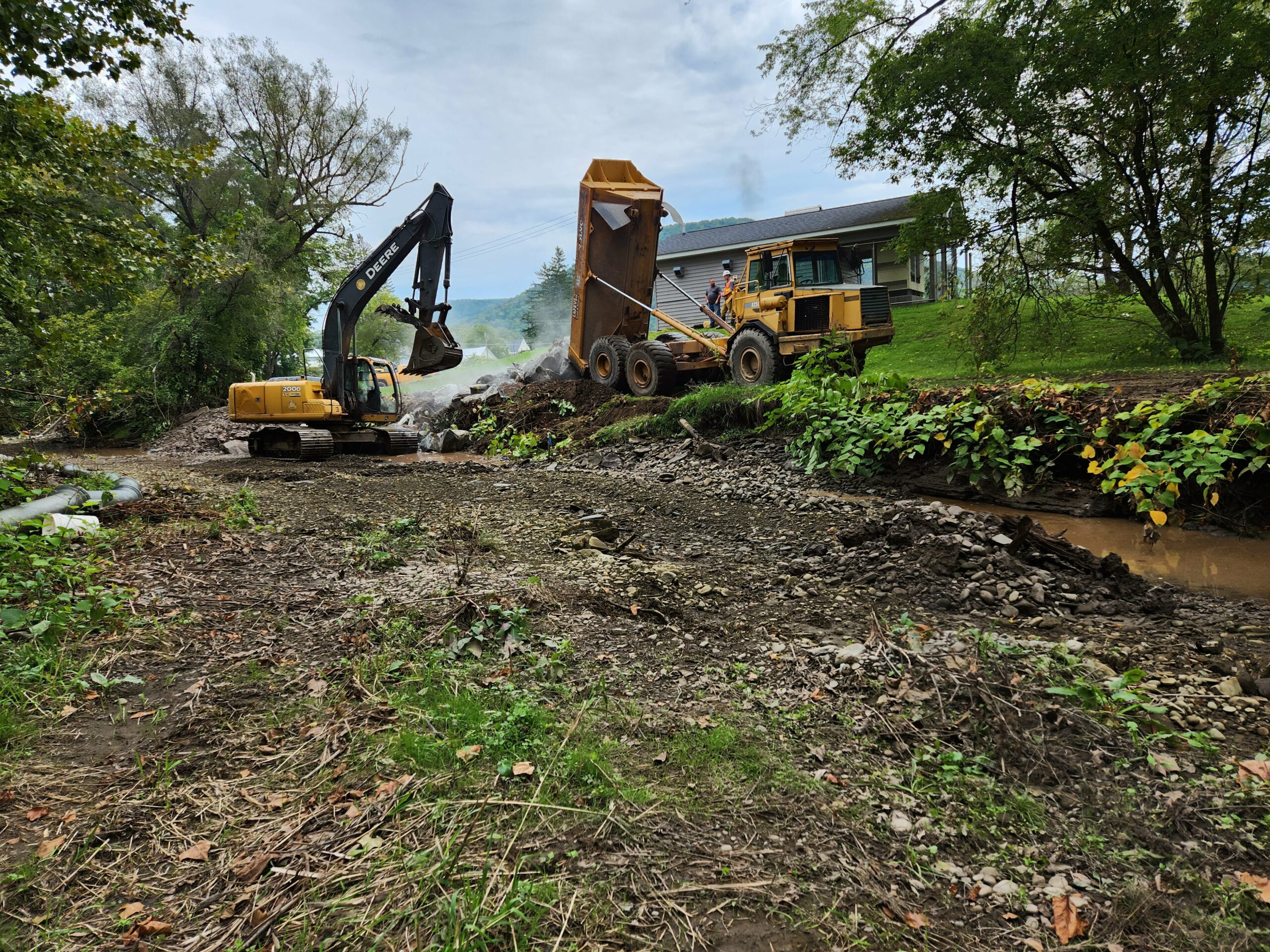
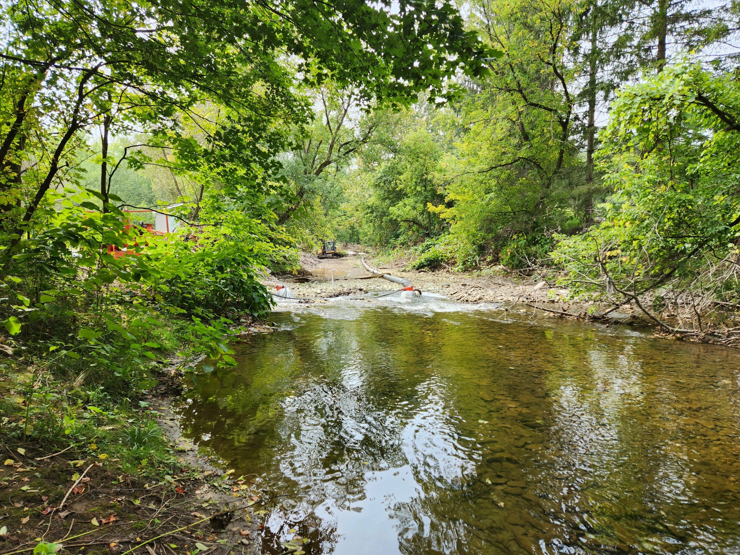
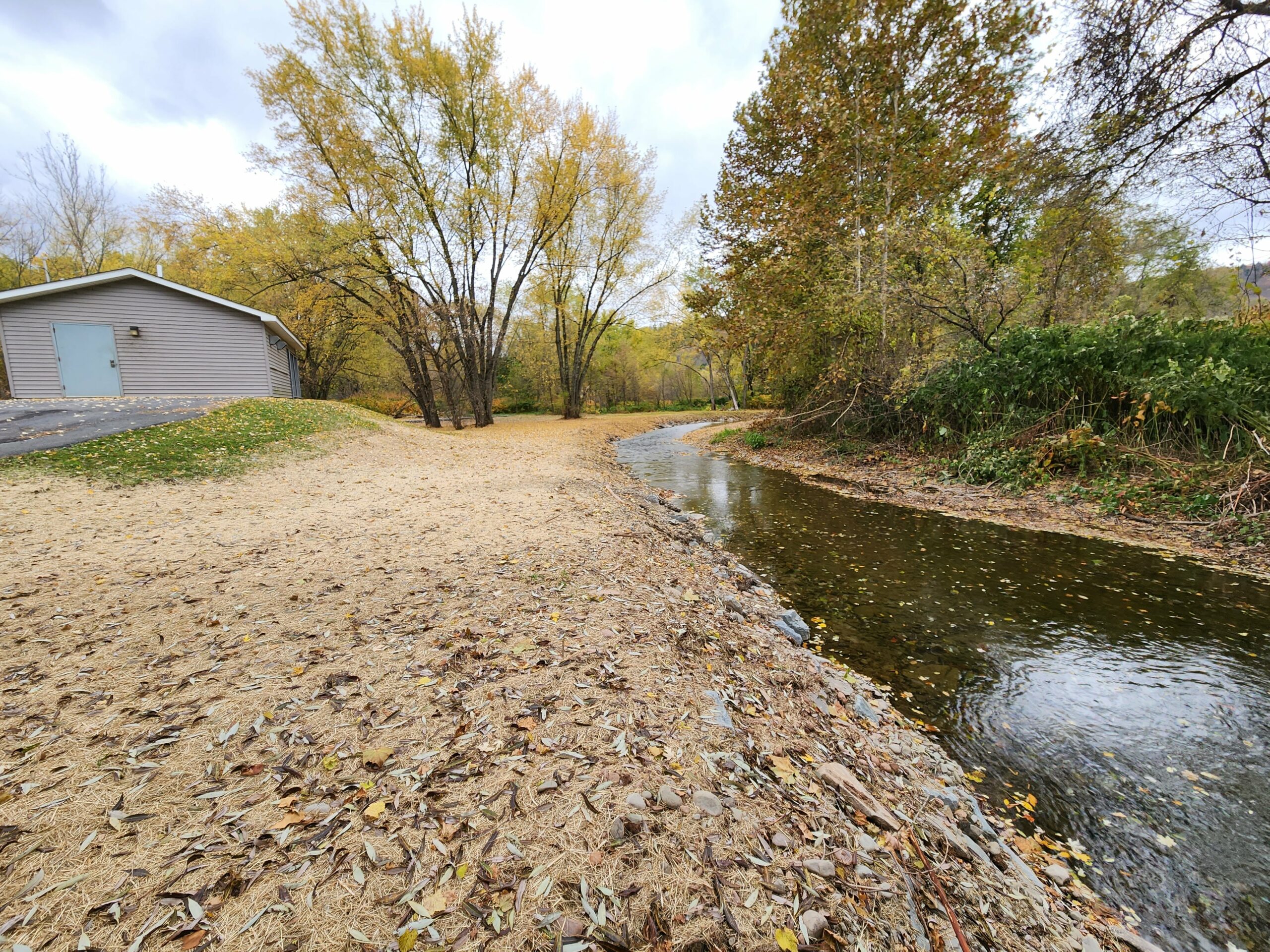
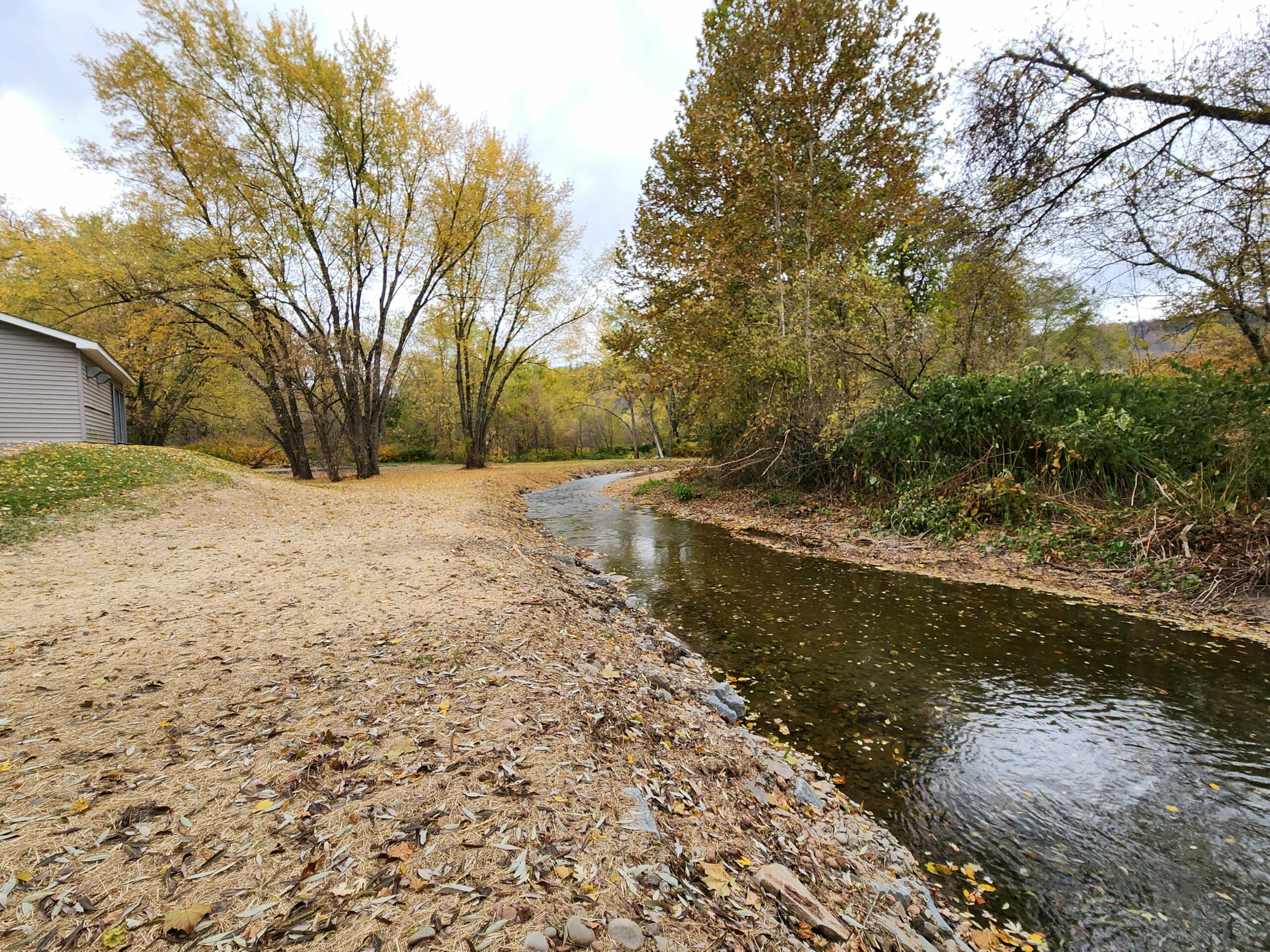
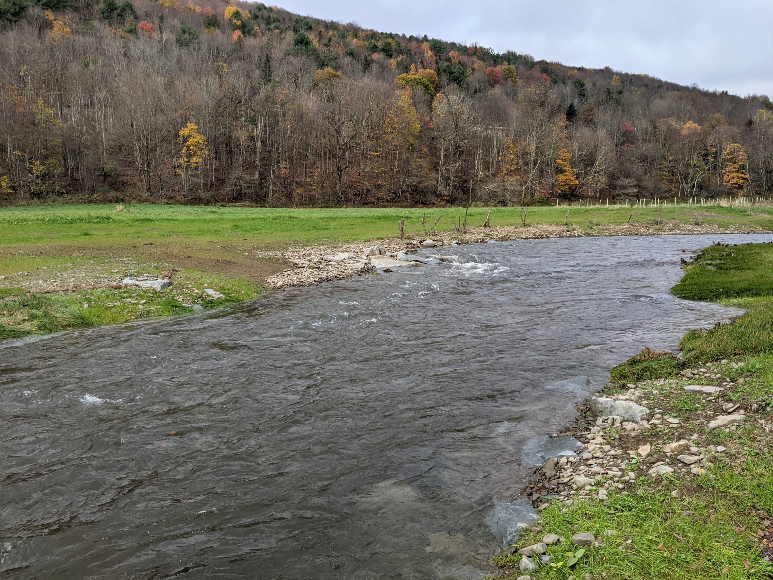
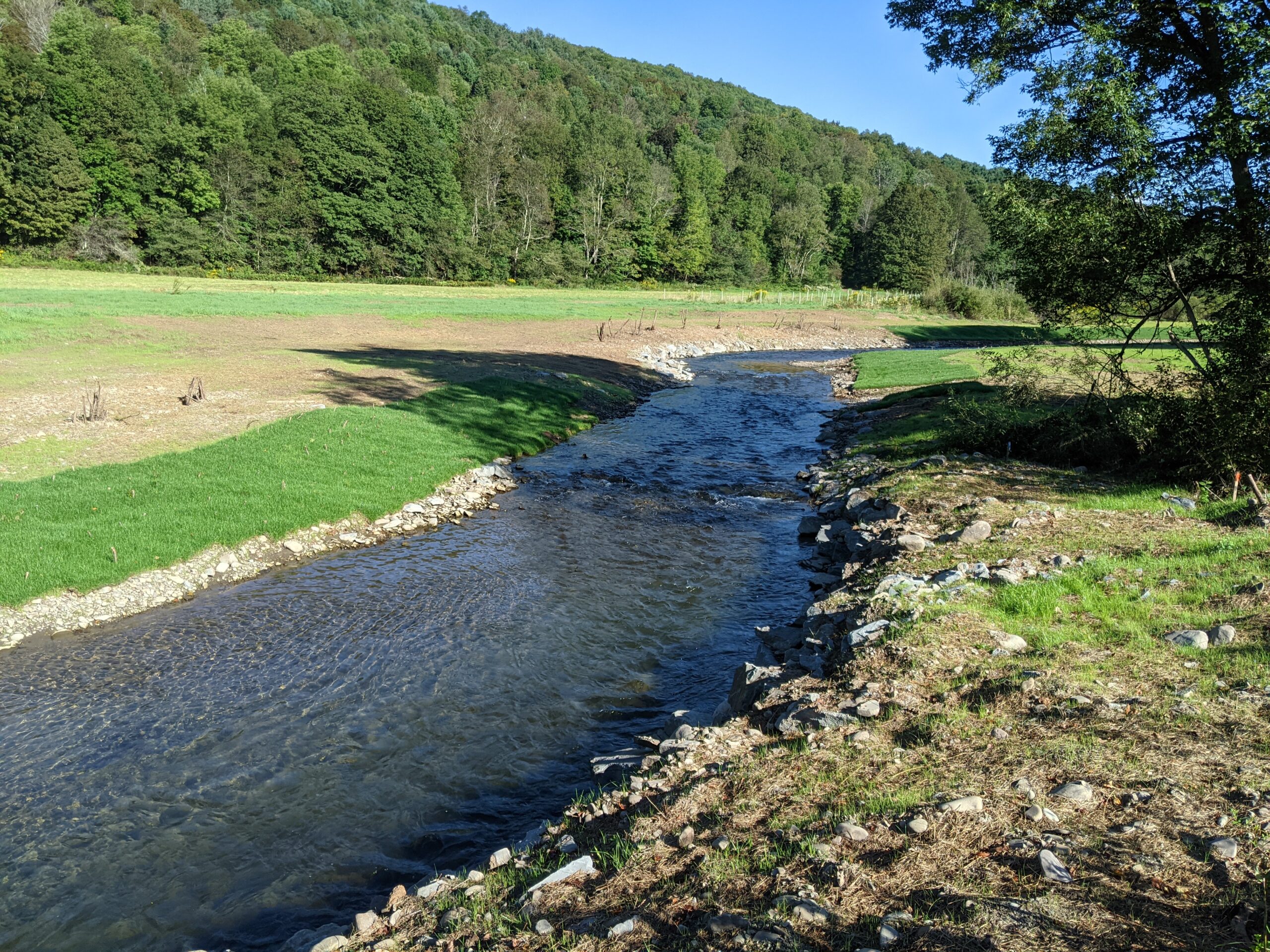
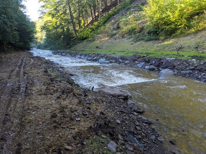
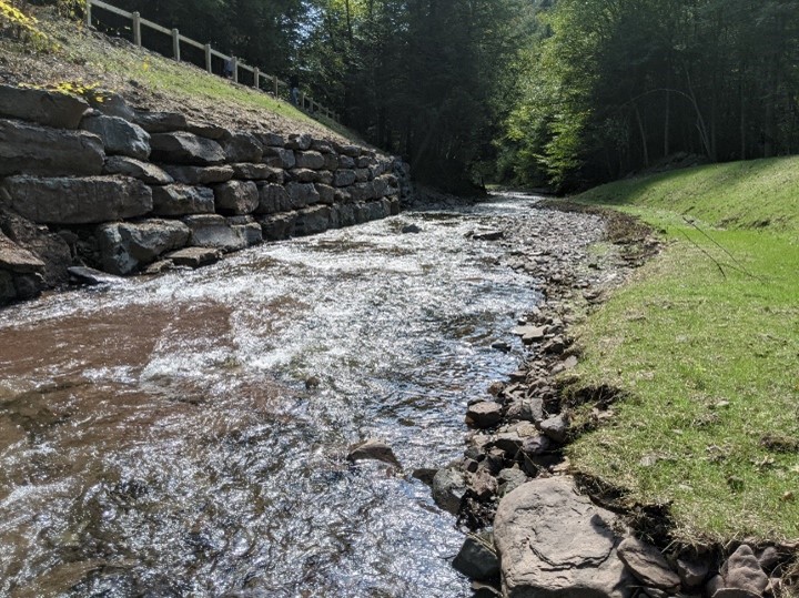
The project design stream length of 25 feet that included the placement of stacked rock wall along the left streambank and fill will be placed from the top of the rock wall to the edge of the road shoulder. The project goals is to produce the necessary bankfull shear stress within the stream channel required to maintain sediment competence and ensure lateral stability of the streambank.